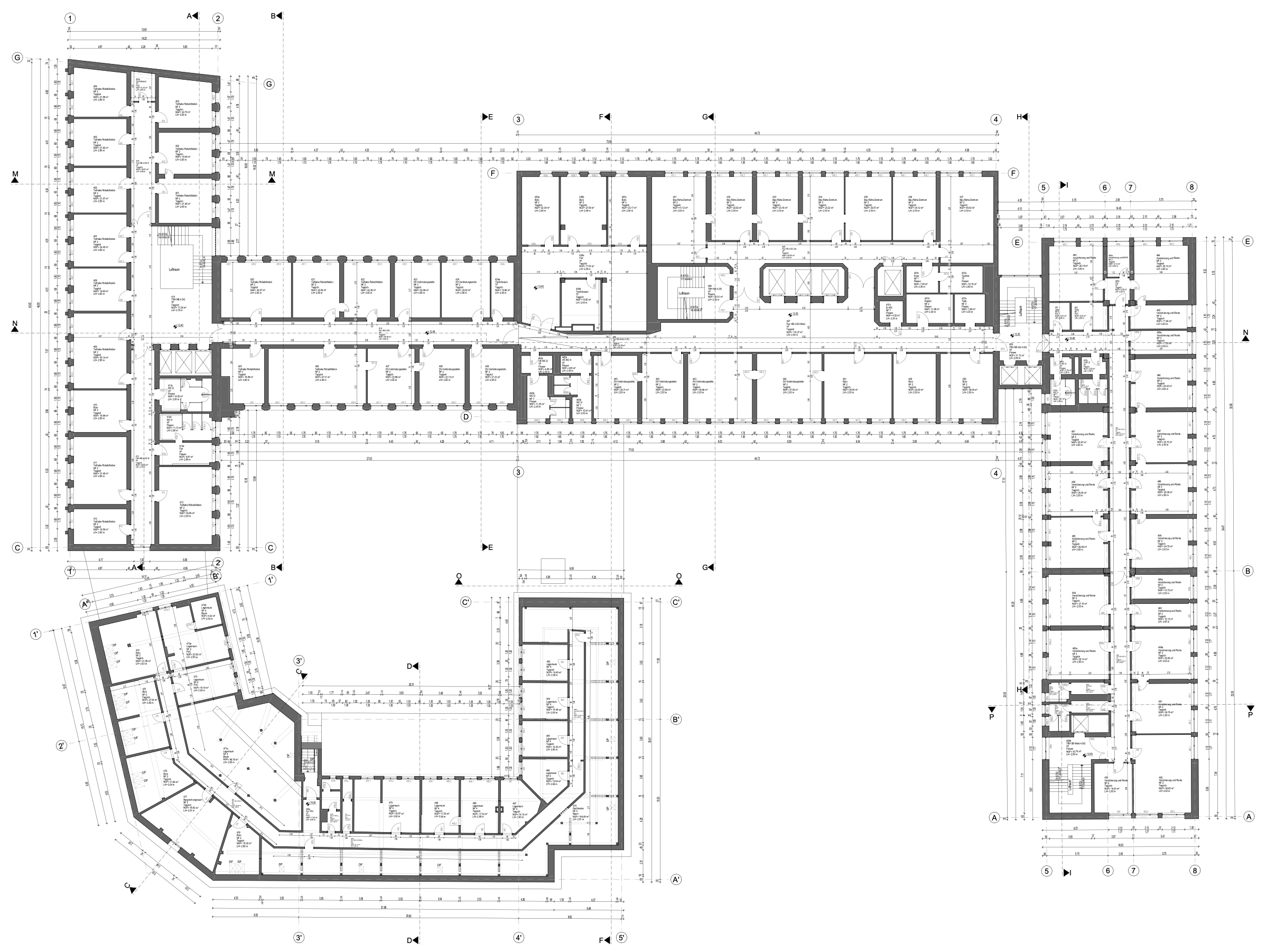
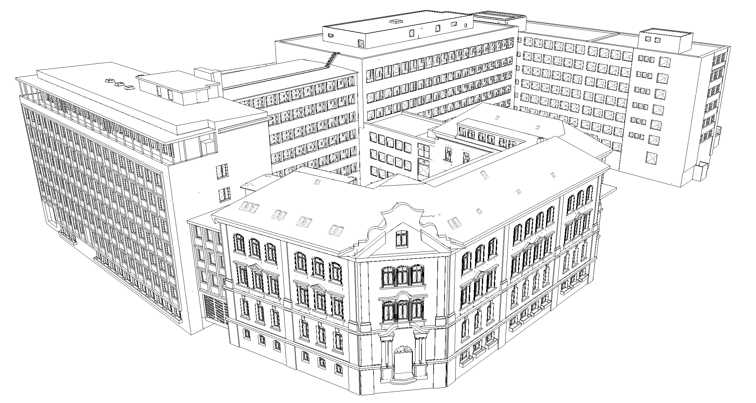
Accurate building data collection is the key to efficient Computer-Aided Facility Management (CAFM). Up-to-date and comprehensive building data form the basis for optimizing maintenance schedules, space management, and cost control. METRIKA360 offers state-of-the-art technologies and methods to efficiently and precisely collect this data and integrate it into your CAFM system.

Mobile mapping allows us to capture even large properties in a short amount of time. The generated point clouds serve as the foundation for creating CAD floor plans. Virtual 3D tours enable us to shift much of the work to our back office—saving time and reducing costs for our clients.
In addition, our in-house developed DokuApp makes it possible to record relevant building data quickly and directly during the mapping process. The browser-based application runs on all devices, saving time for data collection teams and reducing expenses for our customers.
To name just a few examples of the building data typically collected during the initial setup of a facility management system. Our DokuApp, specially developed for capturing large real estate portfolios, is the ideal complement to the data collection process. With a database structure that can be customized to your system, it allows us to record building data at high speed—and this during the mobile mapping process. The data is entered live into the database during collection. These captured data sets can later be merged with information from CAD floor plans or CAD models.
You can find more details about the creation of CAD floor plans in the next section
Wie weiter oben bereits erklärt, erheben wir alle weiteren Gebäudedaten mithilfe unserer DokuApp. Die so erfassten Daten können später mit Flächendaten aus CAD Plänen fusioniert und gemeinsam in dem passenden Format für Ihr CAFM System exportiert werden. Darüber hinaus dient die DokuAPP als Validator für CAD Geschosspläne, so dass es bei dem Import in Ihr CAFM System nicht zu Fehlern kommen kann.


The collected data is provided in the formats required for your CAFM system. This includes:
METRIKA360 ensures that your buildings are thoroughly documented and the data is delivered in a format tailored to your CAFM system—enabling efficient and sustainable real estate management.
Here are a few reasons why we’re the right partner for the job:

Up to 15,000 square meters of net building area can be captured per day using a mobile mapping 3D laser scanner, even for complex buildings.
“We have found Metrika360 to be a well-organized, solution-oriented and professional team. The cooperation is fun, the communication is excellent. Competence meets flexibility.”
Helga Scheier
Department of Education & Sport, City of Munich – Head of Department
The DokuApp is a browser-based application specifically designed for the fast and efficient collection of building data. It works on all devices and enables users to gather relevant information about various building aspects, such as room numbers, room occupants, building types, floor coverings, window surfaces, door types, accessibility information, and outdoor facilities, to name just a few. This data is essential for the initial population of real estate management systems. The DokuApp allows real-time data entry during the mapping process and integrates this information directly into the client’s database structure.
The DokuApp not only supports data collection but also acts as a validator for CAD floor plans. It ensures that the captured data is accurate and meets the client’s requirements by cross-checking it against information from the CAD plans or models. This prevents errors during import into the client’s CAFM system. Additionally, the DokuApp enables the merging of collected data with area data from CAD plans and the export of these combined data sets in a format compatible with the client’s CAFM system.
Metrika360 offers a comprehensive solution for building data collection, backed by years of experience and technical expertise. By digitalizing the entire building data capture process, we help you save time and money while improving the accuracy and accessibility of data for all stakeholders.