


FROM BUILDINGS TO DATA. FROM DATA TO DECISIONS.Germany’s
leading specialist
in 3D laser scanning and building digitisation

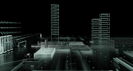
We carry the physical world into a digital futureOur vision: buildings become digital — precise, fast and complete
Buildings, plants and infrastructure are far more than concrete, steel or services – they are complex information systems. With the latest 3D laser scanning technology we capture that reality to the millimetre and turn it into precise digital twins.
That is how buildings become readable, analysable and improvable
Our values guide everything we do The Metrika360 way
INNOVATION
From raw data to competitive advantage. Our R&D team keeps finding new ways to improve your projects.

COMMUNICATION
Understand first, then solve. From the first conversation to completion, we rely on open communication.

FLEXIBILITY
Buildings are complex. Projects evolve. We adapt, without compromising on quality or deadlines.

SPEED
From first contact to final delivery, we are fast. Because time saved is money earned.

RELIABILITY
If we promise something, we keep it. Meeting deadlines and quality are not negotiable.

TRANSPARENCY
Clear prices. Honest communication. No hidden fees and no jargon.

Our storyFrom reality to the
digital twin
Metrika360 was founded by Tim Schrievers and Georg Kling – out of one observation: while other industries have long since gone digital, architects and civil engineers still measure buildings by hand – slow, error-prone and expensive.
Today our mobile mapping systems capture up to 15,000 m² a day with millimetre precision. What used to take weeks, we finish in hours. Our interdisciplinary team of computer scientists, civil engineers, surveying technicians, architects and economists develops solutions that do not merely measure but turn reality into usable data.
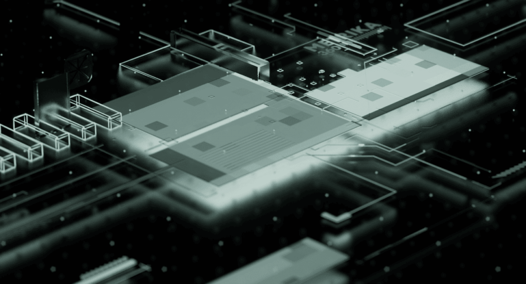
What we have achieved
together
From individual buildings through to entire portfolios, our experience spans projects of every size and complexity.
Find out more100+
Projekte
pro jahr
+10
Geräte
im Einsatz
+10
millionen
quadratmeter
What sets Metrika360 apartBeyond scanning: complete digital ecosystems
Where others stop at point clouds, we deliver digital assets ready for use: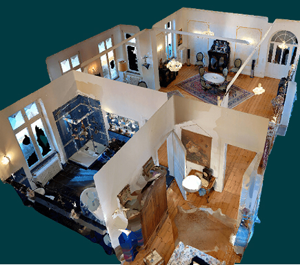
CAD drawings that plug straight into your systems

BIM models that prevent clashes before they arise

Virtual tours that update automatically, without scanning again

CAFM-ready databases that our DokuApp can fill


ONE SOLUTION.
ALL THE DATA.
・Terrestrial laser scanning – for the greatest level of detail
・Mobile mapping – for large areas, fast
・Drone photogrammetry – for inaccessible areas
The result: a single, precise overall model. No breaks between systems. No data lost
SPEED
AT SCALE.
15,000 m² a day. Accurate to the millimetre. What used to take weeks is done in hours.
BUDGET CERTAINTY
GUARANTEED.
Project scope: clearly defined.
Costs: firmly calculated.
Surprises: ruled out.
You plan with figures you can rely on.
Our services at a glance

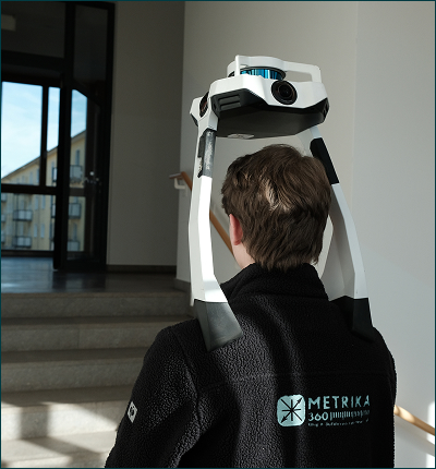

Our team: precision meets innovation
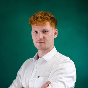
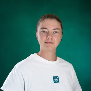
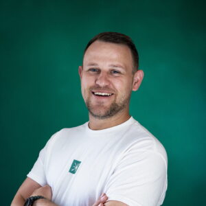
Laser scanning specialists, BIM experts, surveying engineers – our team brings together the know-how that modern building digitisation requires. We do not just produce point clouds but intelligent 3D models that clients, architects and facility managers can use directly.




Your projects across the DACH region – our operating area
With offices in Würzburg, Munich and Bayreuth and field teams in Berlin, Mainz and Dortmund, we combine nationwide presence with the ability to run projects internationally. Our cloud-based workflows mean your data is accessible any time, anywhere – with security that meets the highest standards.