
LASER SCANNING SPECIALISTS3D LASER SCANNING — PRECISION IS OUR STANDARD.
From raw point cloud to complete digital model — we capture every detail of your building, exactly as it stands today.



From raw point cloud to complete digital model — we capture every detail of your building, exactly as it stands today.
We don’t just operate laser scanners — we understand the technology at its core. That depth of expertise means we can unlock the full potential of every scan and turn complex data into something you can actually use.
Our service covers the entire process: project consultation, data capture, processing, storage, archiving, and hosting. Whatever your industry, whatever your building — precise 3D laser scanning saves time, reduces costs, and makes your processes more efficient.
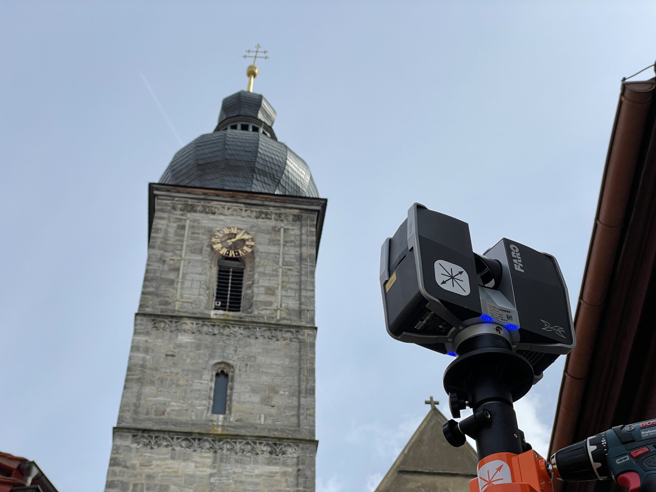
From century-old churches to complex industrial facilities — we specialise in the fast, precise, three-dimensional capture of any property, at any scale. Large real estate portfolios, infrastructure, construction sites, historic landmarks — no project is too large, too complex, or too old.
A few examples can be found below:

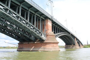
Traffic Infrastructure
(Bridges)

Utility Infrastructure
(sewage treatment plant & waterworks)

Large real estate
portfolios

Historic
buildings
Technical building
equipment (TGA)

Factories & Facilities
of all kinds
All types of building
installations

Construction sites
of all kinds
Millimeter-precise 3D models are only the starting point. The real value is what they enable: faster planning, fewer errors, lower costs, and the confidence to make decisions based on data you can trust.
Effective planning starts with a complete understanding of what’s already there. You can’t renovate, retrofit, or manage what you can’t accurately measure.
Learn how 3D laser scanning gives your project the foundation it needs from day one.
Fieldwork is only a small part of the process. A building can be captured quickly and with minimal disruption — and the data can be processed and used whenever it’s actually needed. Scan once, use indefinitely. Think of it as future-proofing your asset.
Virtual construction meetings, remote facility management, immersive building walkthroughs, digital twins of entire production environments — it all starts with a single scan. The result: a leaner organisation, smarter resource use, and a digital infrastructure that grows with your needs.
VIRTUAL TOURS
Fieldwork in laser scanning may seem straightforward. But delivering point clouds that truly meet accuracy requirements takes deep experience and technical expertise. When it comes to complex structures, large-scale properties, or merging data from multiple devices, firms that treat laser scanning as a side service quickly reach their limits.
But quality alone isn’t enough — a service has to make financial sense too. That’s why our speed matters just as much as our precision: from first inquiry to on-site capture to final data delivery, we move fast without cutting corners.
Don’t take our word for it — ask our clients.
TALK TO OUR EXPERTS
The right result starts with the right method. “More accurate” isn’t always better — what matters most is matching the technology to your project’s actual needs, timeline, and budget.
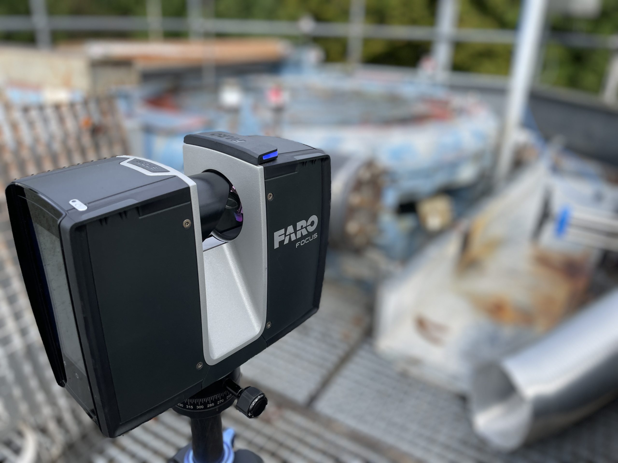
WWhen a project demands the highest level of accuracy, terrestrial laser scanning is the method of choice. The scanner is set up at fixed positions throughout the space — capturing detailed scans from multiple angles that are precisely aligned and merged in post-processing.
The result: an exceptionally dense, accurate point cloud with no margin for compromise.
We use terrestrial laser scanners when:
High-precision Measurements for Industrial Plant Construction
Terrestrial Laser Scanning for Infrastructure Applications
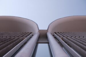
Surveying of High-Rise Facades
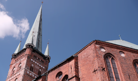
Detailed Documentation of Historic Buildings
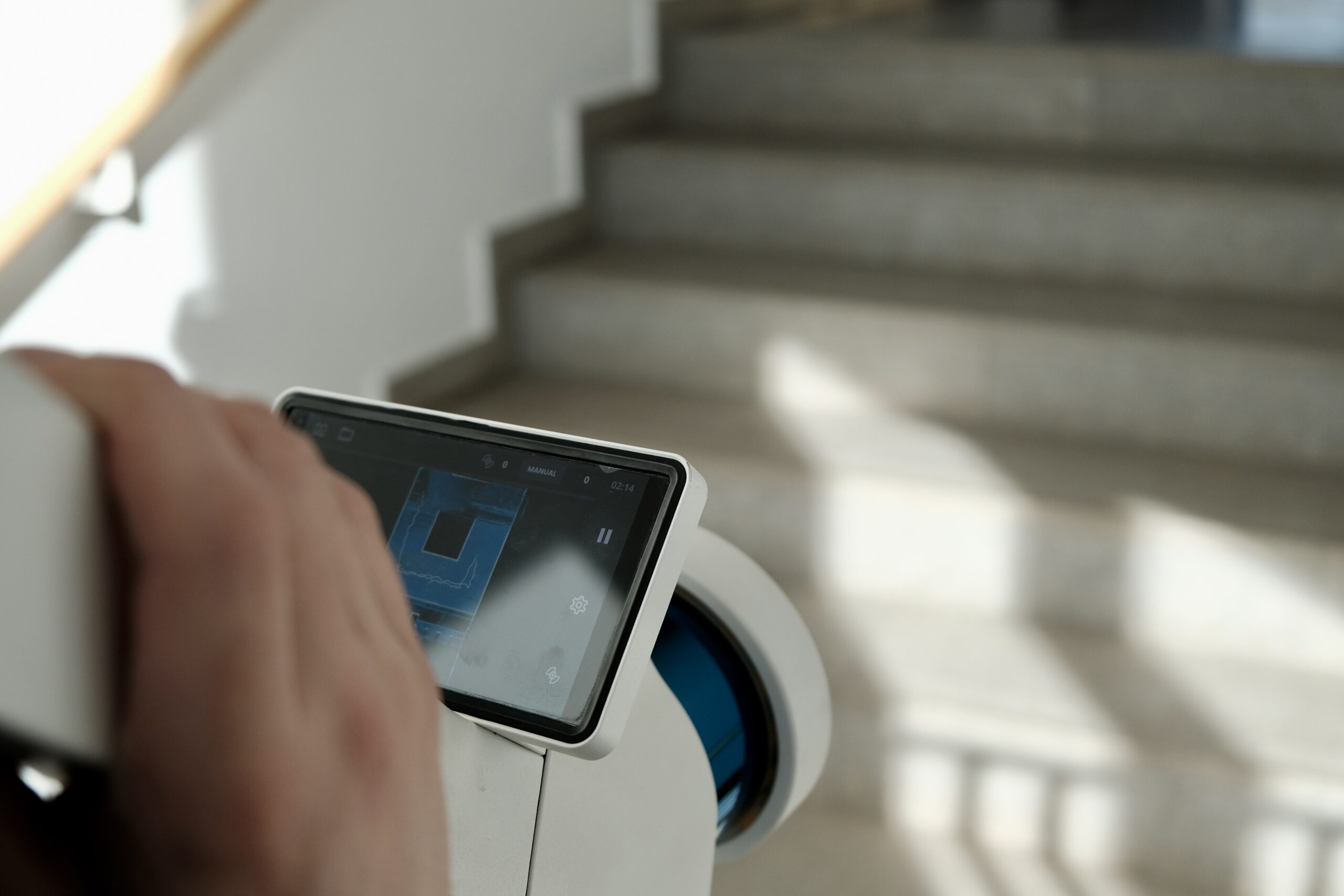
When speed and cost-efficiency matter, mobile mapping is the answer. Our scanners capture data continuously as they move through a building — no setup at fixed positions, no downtime, no disruption to ongoing operations.
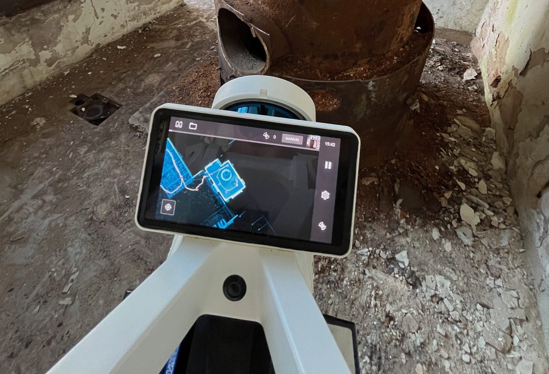
The technology that makes it possible is called SLAM — Simultaneous Localization and Mapping — allowing the scanner to orient itself autonomously in real time.
Soon, it won’t be a question of if a building is scanned, but simply that it is.
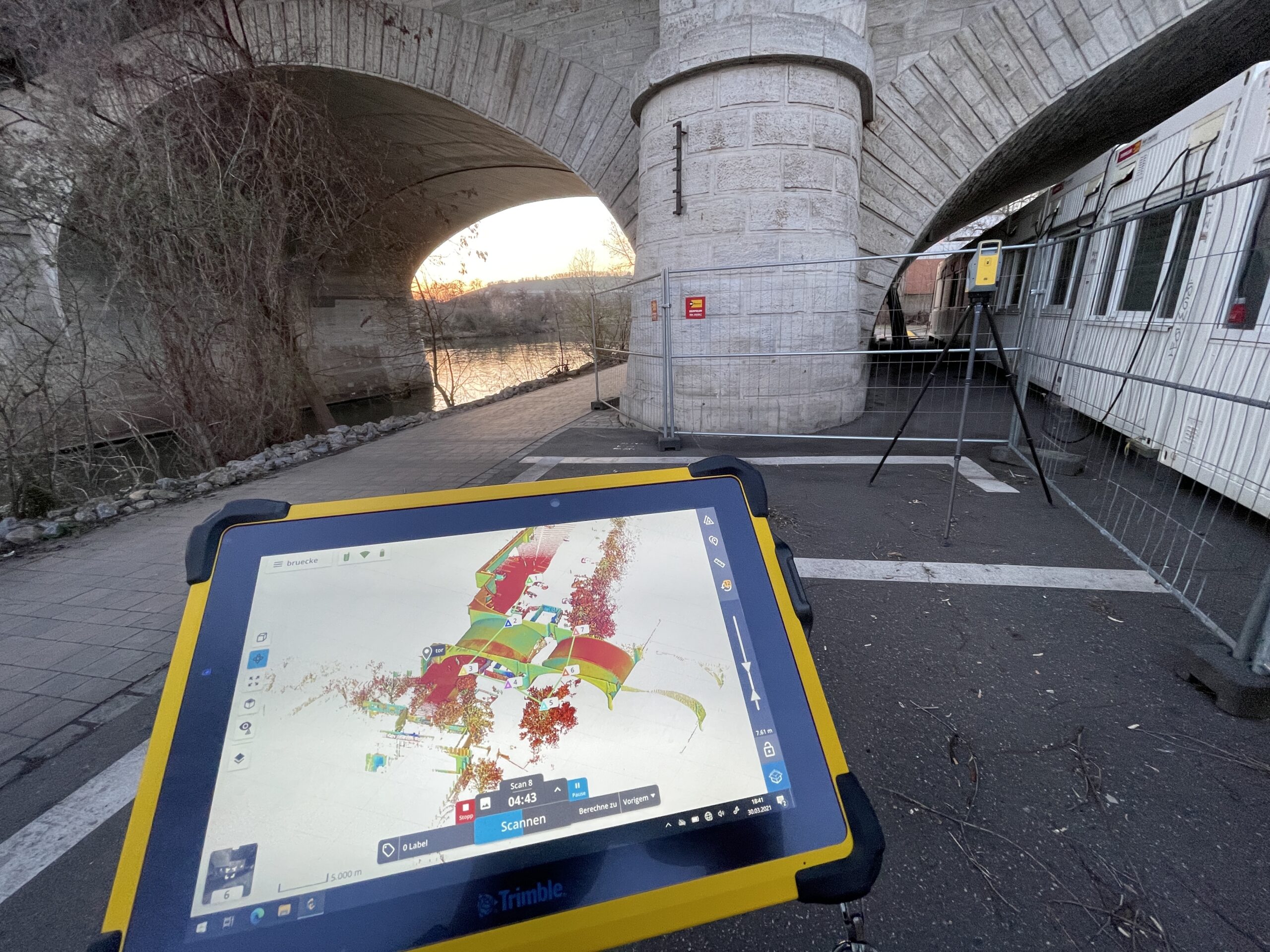
A stationary laser scanner is placed on a tripod and emits laser beams that reflect off surfaces. From those reflections, it calculates the distance, angle, and position of each point — building up a precise point cloud. This method is ideal for complex structures and hard-to-reach areas where maximum accuracy is required.
Mobile mapping uses the SLAM algorithm (Simultaneous Localization and Mapping) to capture LiDAR data and positional information while the device is in motion. The scanner tracks its own movement in real time and builds an accurate point cloud of the surroundings — no fixed tripod positions needed. The result: fast, flexible data capture across large areas and complex environments.
Yes — and they complement each other well. Terrestrial scanning delivers maximum accuracy for specific areas and fine structural details. Mobile mapping covers large spaces quickly and efficiently. Used together, they provide complete coverage: mobile mapping captures the full environment rapidly, while terrestrial scanning adds the high-accuracy detail where it matters most. The result is a seamless, precise overall model.

