From Point Cloud to Digital Twin: How Modern 3D Surveying is Revolutionising Bridge Modelling
The digitisation of bridge structures faces a fundamental challenge: most infrastructure in Germany exists only in 2D plans or lacks any up-to-date documentation. At the same time, modern planning and renovation processes require precise BIM models. The solution? A smart combination of 3D laser scanning and specialised engineering expertise.
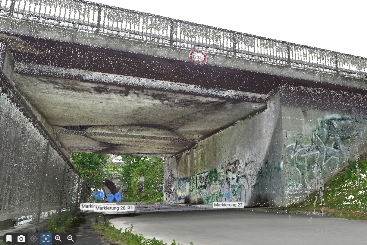
The Unique Complexity of Bridge Structures
Bridges are not ordinary buildings. As linear load-bearing structures with curved alignments, variable cross-sections, and complex geometries, they place the highest demands on digital capture and modelling. While building construction often involves standardised geometries, every bridge requires individual solutions – from slab bridges to cable-stayed structures.
This geometric complexity makes manual re-modelling both time-consuming and costly. This is where modern surveying technology comes in: millimetre-accurate 3D laser scanning captures reality in all its complexity, creating the foundation for precise digital models.
From Reality to BIM Model
1. Accurate Data Capture Through Combined Methods
The optimal capture of bridge structures often requires a mix of technologies:
- Terrestrial laser scanning ffor the highest precision in static structures and hard-to-reach areas.
- Mobile Mapping for efficient data collection of large areas with automated spatial orientation.
- Drone surveying for documenting bridge decks and inaccessible components.
This combination of methods ensures complete data capture, from abutments and piers to superstructures and detailed elements.
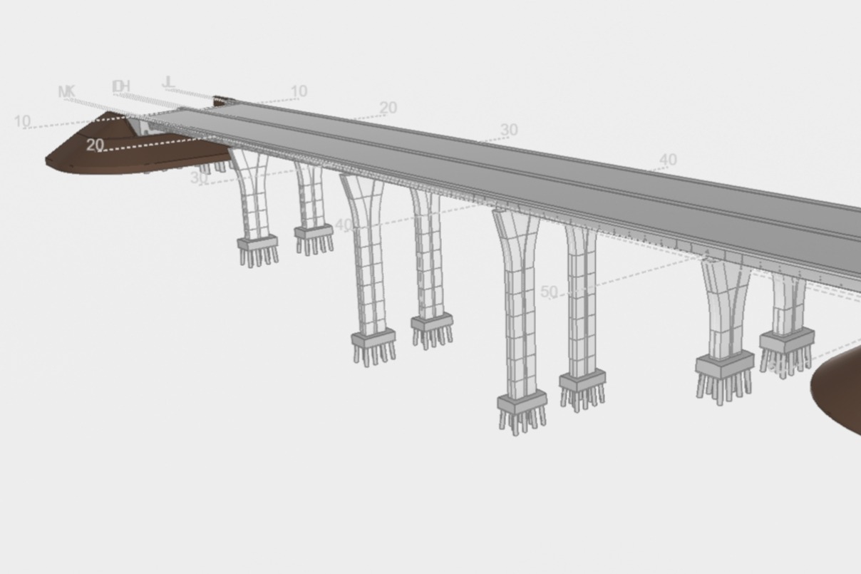
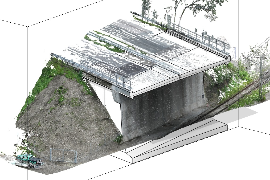
2. Intelligent Data Processing with Engineering Insight
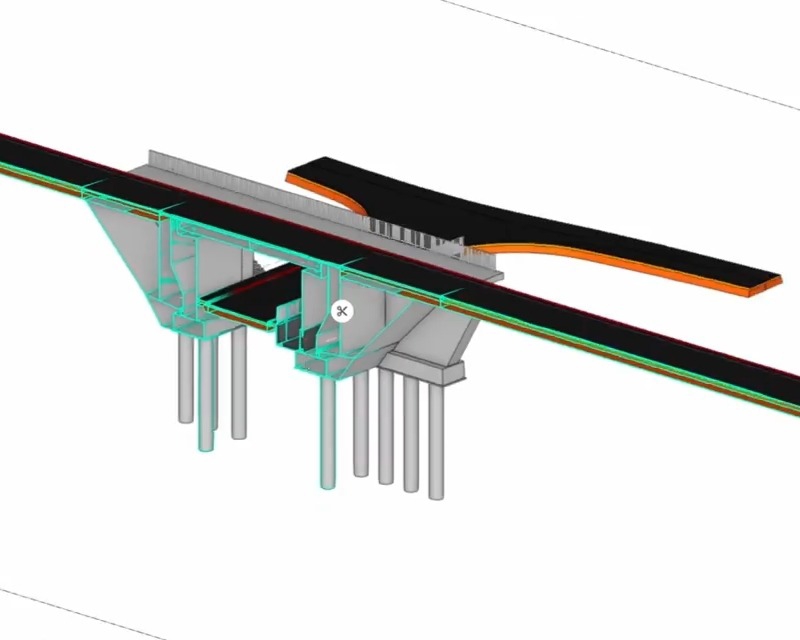
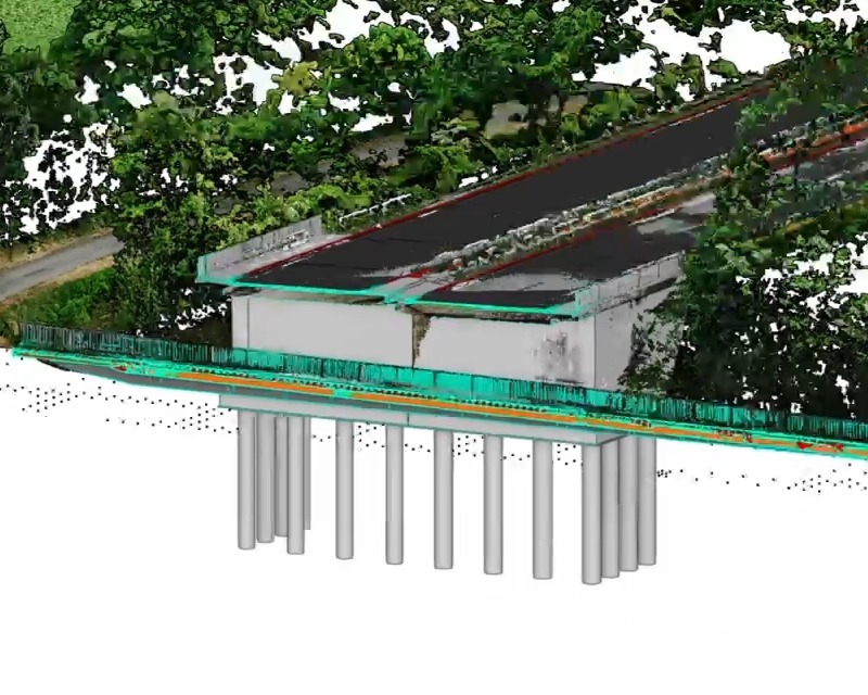
The challenge is not only in capturing the data but also in professionally interpreting the scan data. From millions of data points, structural elements must be extracted and transformed into parametric BIM models. This requires:
- Systematic analysis of point clouds with an understanding of structural logic.
- Identification of components despite obstructions and noise.
- Reconstruction of non-visible elements based on engineering knowledge.
- Integration of existing plans to complete the models.
3. Structured BIM Modelling for the Entire Lifecycle
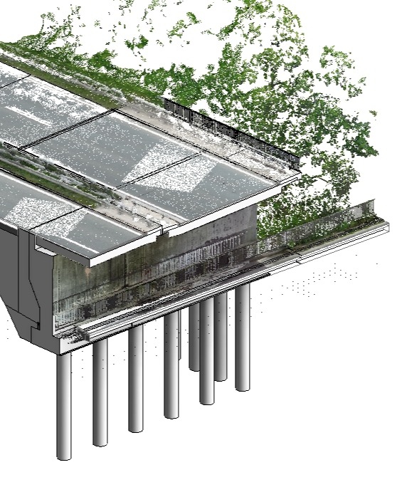
The result goes far beyond simple 3D visualisation. Each component is assigned specific attributes – from material parameters to cross-sectional values and structural details. This structured data collection enables:
- Efficient renovation planning through precise as-built documentation
- Accurate clash detection for modifications and extensions.
- Continuous monitoring through the integration of inspection data.
- Optimised facility management throughout the entire lifecycle.
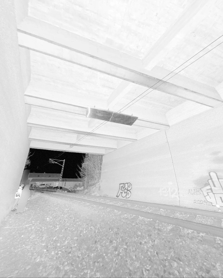
Specialised Expertise Through Strong Partnerships
For complex bridge modelling, we work closely with Anton Schlei of Werner und Schlei Ingenieure. With his extensive experience in bridge construction at Max Bögl (a German-specific company name, but relevant for context), he provides the specialised expertise needed for accurate interpretation and modelling of complex structures. This combination of cutting-edge surveying technology and deep engineering knowledge guarantees BIM models that are not only geometrically precise but also accurately represent the structural logic and static requirements of bridge construction.
Practical Use Cases from the Field
As-Built Data Capture for Renovation Projects
Historical bridges often lack current plans. By combining laser scanning with existing archival data, complete digital models are created, documenting all deformations and structural changes. This ensures reliable planning and prevents costly surprises during construction.
As-Built Verification for New Projects
Modern infrastructure projects require continuous monitoring during construction. Comparing planned BIM models with laser scan data reveals deviations early, enabling timely corrections. This process is becoming increasingly mandatory, especially for public clients (Germany-specific nuance: public authorities often mandate BIM as standard).
Digital Twins for Predictive Maintenance
Linking BIM models with real-time IoT sensor data creates living digital twins. These enable predictive maintenance of critical infrastructure and extend the service life of structures while optimising operating costs.
The Future of Infrastructure Digitisation
Die Entwicklung steht nicht still. Aktuelle Forschungen im Bereich “Scan-to-BIM-to-Sim” gehen über die reine Modellerstellung hinaus und ermöglichen die direkte Integration von Simulationen und Echtzeitanalysen. Künstliche Intelligenz unterstützt zunehmend bei der automatisierten Bauteilerkennung und beschleunigt den Modellierungsprozess.
For infrastructure operators, this means that investing in precise 3D surveying and BIM modelling pays off over the entire lifecycle – by reducing planning risks, optimising maintenance cycles, and providing a solid basis for future decisions.
Your Partner for Bridge Digitisation
Digitising bridges requires more than just technical expertise – it demands a combination of state-of-the-art surveying, specialised engineering knowledge, and efficient processes. At Metrika360, we bring these elements together into tailored solutions for your infrastructure projects.
Whether you need as-built documentation via laser scanning, BIM models created from 2D plans, or the development of digital twins – we guide you into the digital future of your structures.
Contact us for a no-obligation consultation about your bridge project. Together, we will find the optimal digitisation strategy for your infrastructure.
97297 Waldbüttelbrunn
wuerzburg@metrika360.de
95512 Neudrossenfeld
bayreuth@metrika360.de
80637 München
muenchen@metrika360.de
44149 Dortmund
dortmund@metrika360.de


