PERFORMANCE = WORK/TIME
Learn more about our services here.
Metrika360 offers digital services in the construction and real estate sector.
Learn more about our services here.
Metrika360 offers digital services in the construction and real estate sector.
There are few industries that operate independently of real estate. Digitalization in the property sector affects everyone — but don’t worry, that’s a good thing. The enormous potential for cost savings that comes with it is, too.
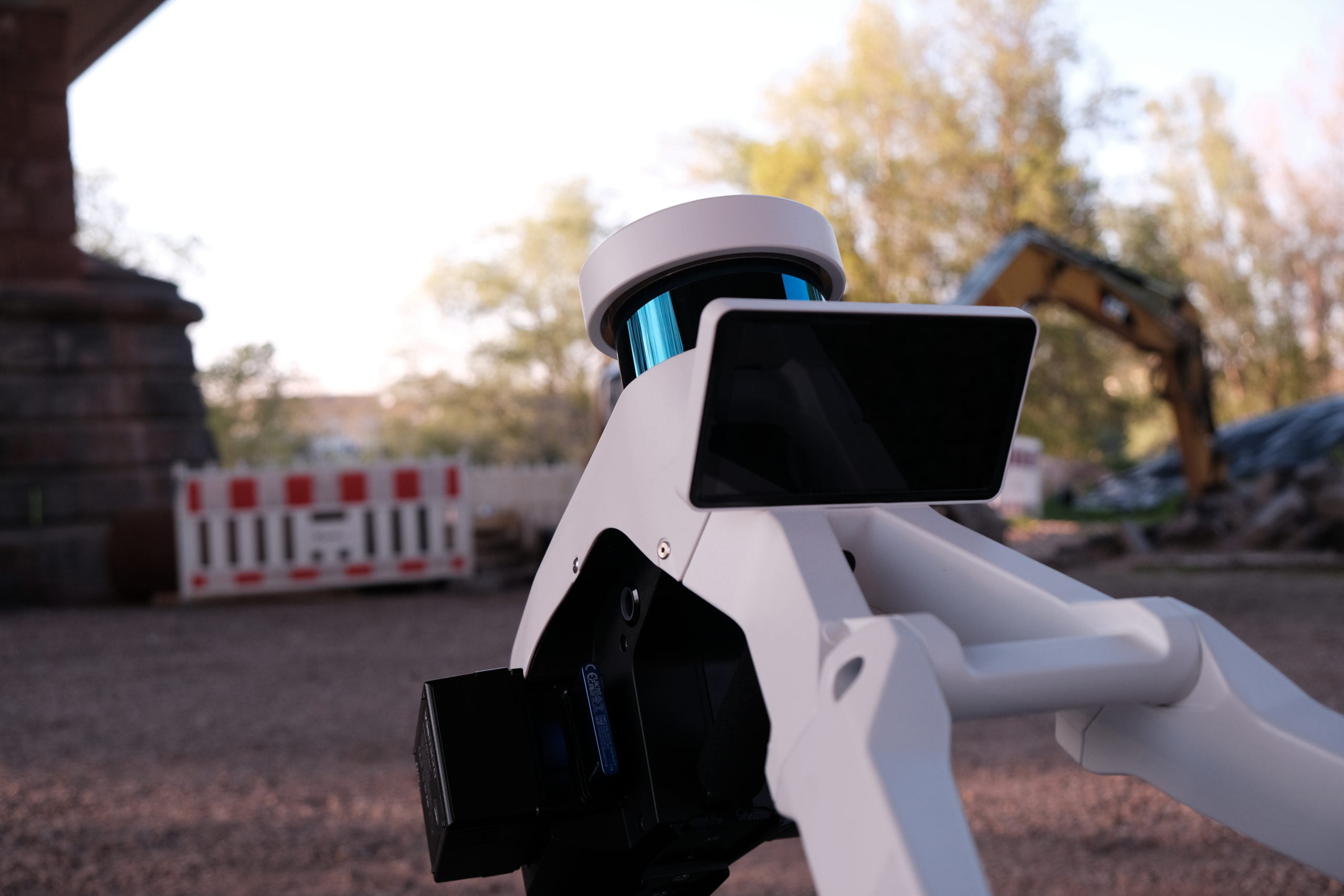
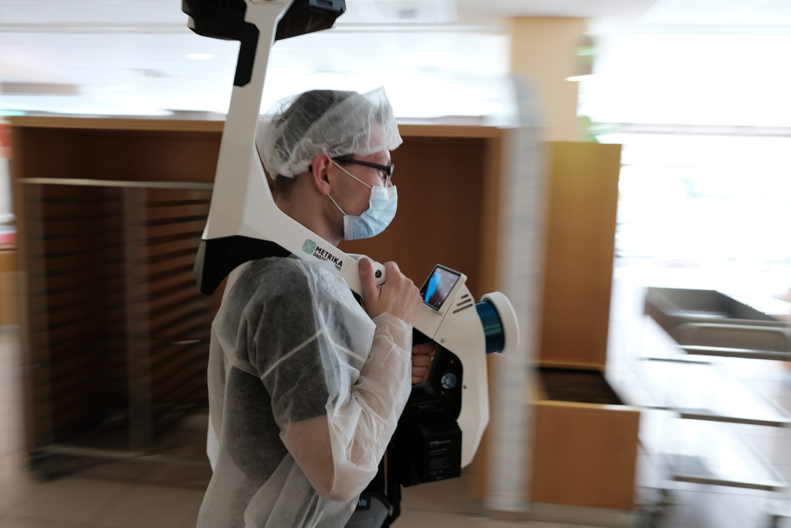
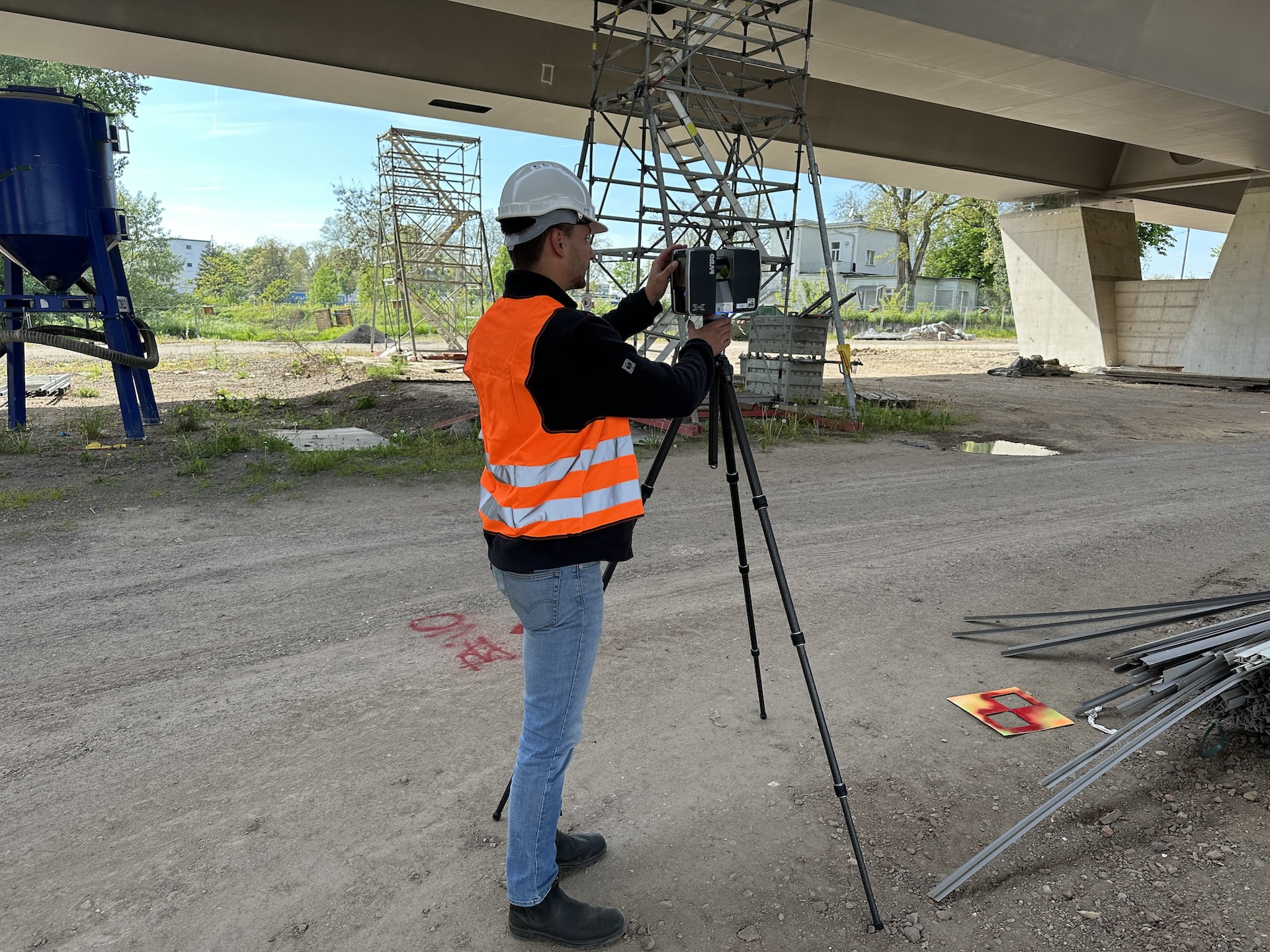
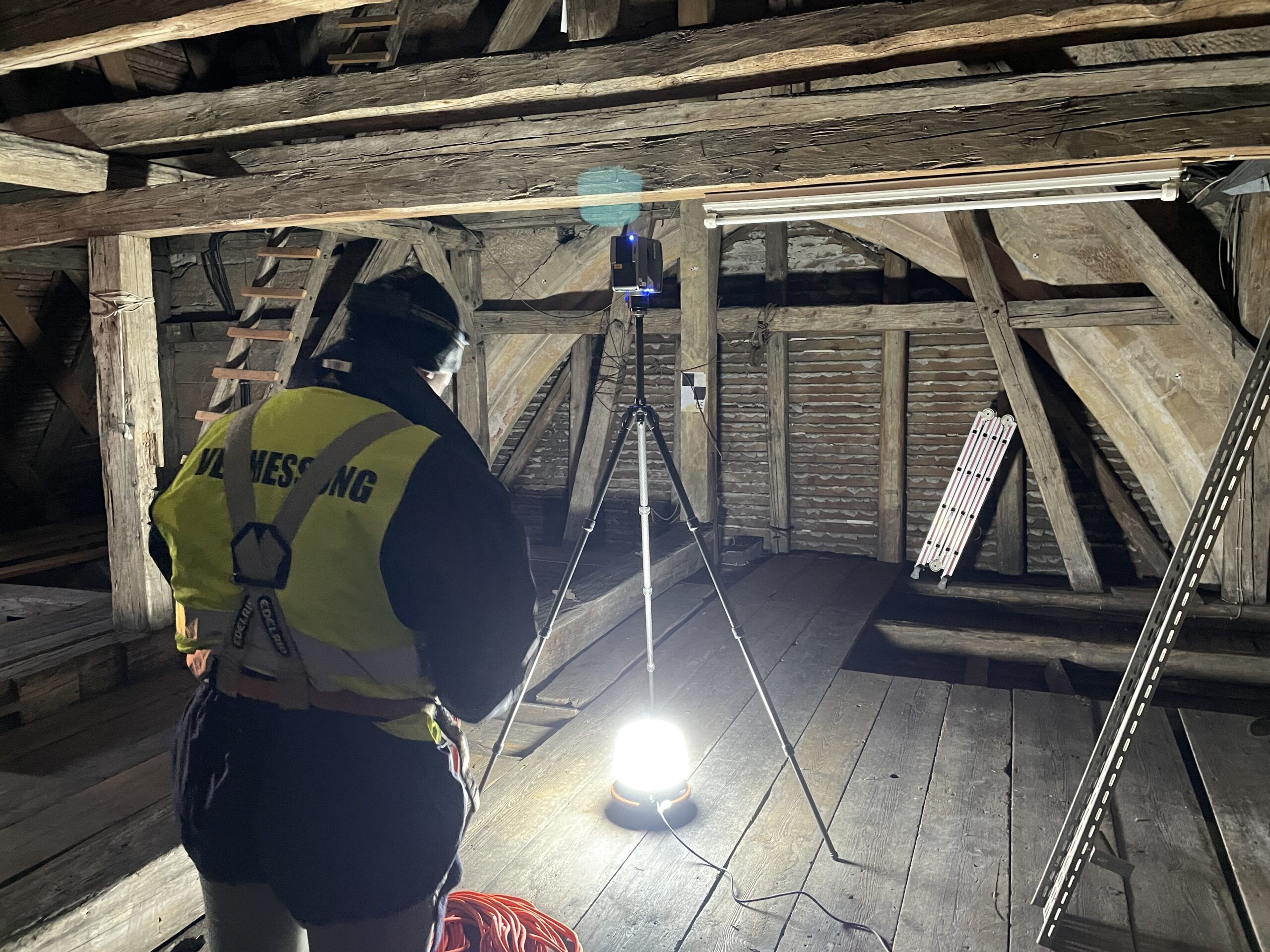
Creating high-quality point clouds of all types of buildings is our profession. With our terrestrial laser scanners, we uncover every detail of a structure — as precisely as current technology allows. Using our mobile mapping scanners, we capture large properties in record time without interrupting ongoing operations. Laser scanning forms the foundation for (almost) all of our advanced services.
We believe that every successful project starts with precise planning. That’s why we specialize in creating 3D models and updated planning documents for existing structures of all kinds—from construction sites and building complexes to factories and industrial facilities. Put your planning on solid ground—in two or three dimensions.
Every project should be built on a reliable planning foundation. Here’s why it matters.
We believe that lean organization and efficient processes contribute to business success in every industry. That’s why we help you save time and manpower on your construction site, detect construction or planning errors earlier and more reliably, and provide all stakeholders with better information. How do we do it?
Through regular progress documentation and visualization on a centralized platform, all stakeholders can track the project’s development without being constantly on-site.
No more disputes over construction errors.
That’s how it’s done.
Three-dimensional modular planning using BIM has become standard in large-scale construction projects. Comparing the planned model with the completed structure is referred to as the As-Built process.
To do this, the finished structure is scanned using 3D laser scanning technology, and the resulting point cloud is compared to the original 3D model. The outcome: comprehensive documentation, improved construction oversight, and—most importantly—a 3D model that reflects the built reality after project completion.
Construction quality control on the next level.
We’re not just selling you a service.
We’re helping you optimize your organization and save valuable resources.
By digitizing your property management processes, we enable streamlined operations and greater efficiency. Virtual site visits for all stakeholders save time and manpower—no need for repeated travel or scheduling conflicts.
Thanks to the integrated measurement tool, you can perform centimeter-accurate area and distance measurements directly in the tour. And it’s not just a collection of panoramic photos—our tours are based on real laser scan data. With minimal additional effort, a virtual tour can be created alongside the scan.
Discover property management in a whole new dimension.
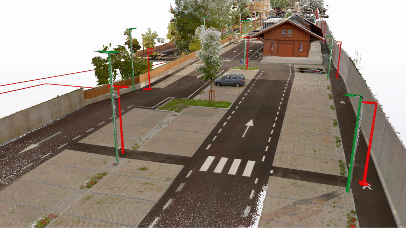
Unlike conventional measuring methods, 3D laser scanning captures not just individual points but entire surfaces, ensuring deformation-accurate results. The scanner generates point densities of several million points per square meter and creates a colored, three-dimensional point cloud of reality.
DEFORAMTION-ACCURATE SURVEY

Every system is only as good as the data it’s based on. Alongside capturing your property inventory with our mobile mapping system, we use our DokuApp to record alphanumeric building information.
The application runs browser-based on any smartphone and can be configured to your database structure. Through various export options, the collected data can, for example, be integrated with data from a CAD program.
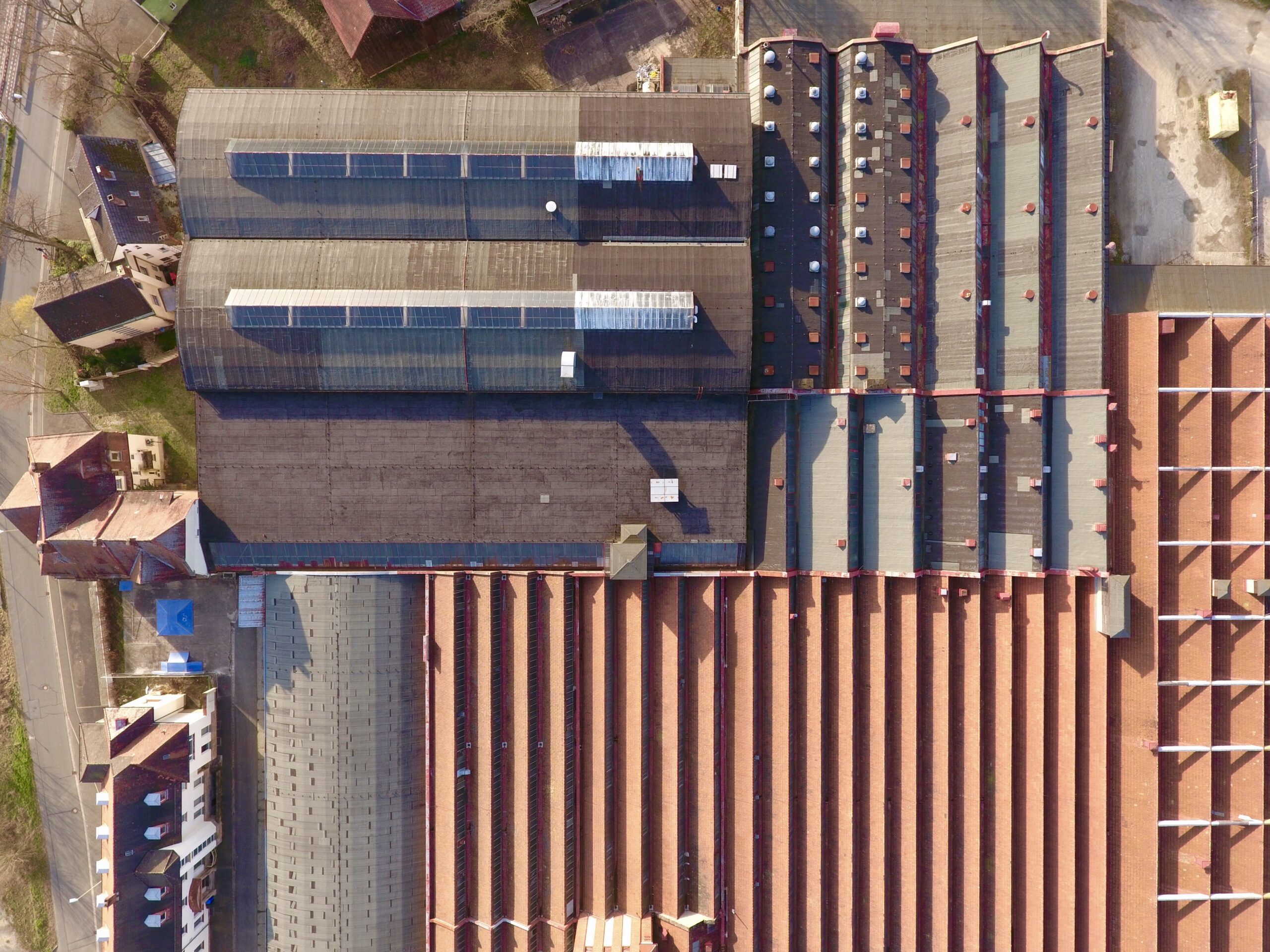
Tall buildings and inaccessible structures require the combination of laser scan point clouds with photogrammetrically generated point clouds from drone images.
Cloud-to-cloud referencing algorithms ensure excellent accuracy of the combined point clouds. Difficult-to-access structures, such as bridge undercarriages, are inspected using UAV footage.
Additionally, drone imaging allows for quick creation of digital terrain models over large areas. This is especially useful for tracking earthworks during new construction planning or ongoing building projects.
