


Shading and daylight studies
The question is always the same: how much sun reaches a particular point, on which days of the year and for how long. It is answered with a model made up of the building, the neighbouring development and the terrain. Without that model, estimates take over — and then the study does not hold.
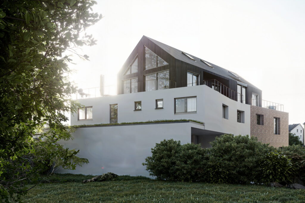
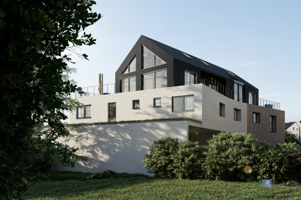
The same building, two positions of the sun
The two views show the same scene with the sun in different positions. A study does not compute that change twice but across the day and across the year: the question is not whether sun arrives, but when and for how long.
Shading comes from outside
Whether a window gets sun is not decided by the building itself but by the development opposite, the terrain and the vegetation. A study that knows only the object misses the question.
The surroundings are therefore captured as well and delivered as a terrain and surface model — with a spatial reference, because otherwise the position of the sun cannot be computed on it.
When the need arises
- A building application where the neighbouring development is contested
- Densification and the question of what it means for the existing flats
- Designing habitable rooms, open spaces and balconies
- Assessing a site for a photovoltaic array on a shaded roof
- Certification, where evidence of daylight is part of the catalogue
Where the data comes from
This service works with geometry: areas, heights, openings, orientation, component build-ups. In a new build the design model supplies those figures. In an existing building it does not exist, and that is the usual blocker.
We collect those foundations during the as-built survey anyway. The same survey that produces floor plans and the room book also yields the values used in these calculations. No second visit and no second data collection are needed.
- As-built data capture – the survey this builds on
- Scan-to-BIM – the as-built model, when figures are to be computed rather than estimated
- DIN 277 – the areas that feed into almost every one of these calculations
Why the surroundings are captured too
A daylight study that knows only the building itself is worthless: shading comes from outside. The neighbouring buildings, the terrain and, where relevant, the vegetation therefore belong in the model. We capture those surroundings with the drone and derive the terrain and surface model from them.
- Terrain model and surface model – the surroundings as a computational model
- Drone surveying – how the surroundings are captured
- Georeferencing – why the spatial reference is mandatory here
What is still open
More in this group
These services build on the same survey. Anyone who needs one of them usually needs a second.