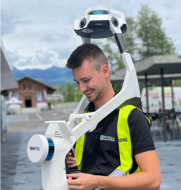


3D surveying versus traditional methods: why precision matters
In construction and real estate, exact surveying is indispensable for successful projects. But which method is better suited: traditional surveying techniques or modern 3D methods? This article compares both approaches, sets out their advantages and disadvantages, and shows why precision is decisive.
Traditional surveying: proven methods with limits
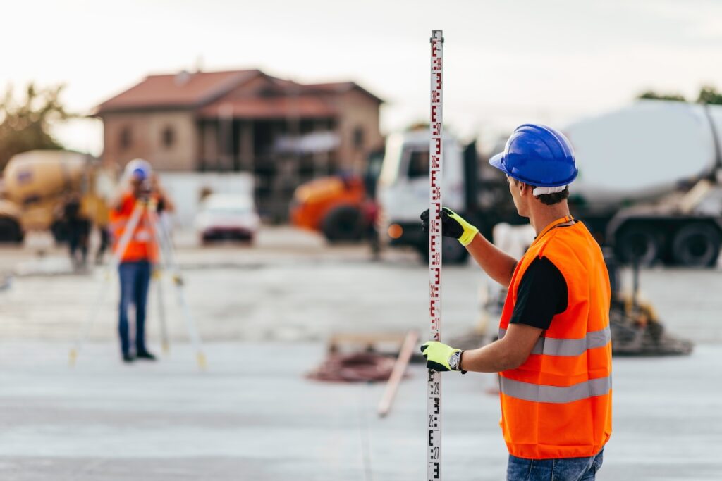
Traditional surveying techniques use instruments such as theodolites, levels and total stations. Although they have proved themselves over decades, they are time-consuming, require manual post-processing and often deliver only point-by-point data.
Advantages of traditional surveying:
- High accuracy over small to medium areas.
- Established and proven methods.
- No complex software integration needed
Disadvantages:
- Time-intensive data capture and processing.
- Susceptibility to human error.
- Limited scope for visualisation.
3D surveying: digital precision for modern requirements
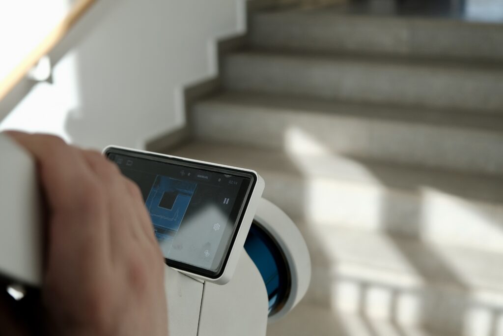
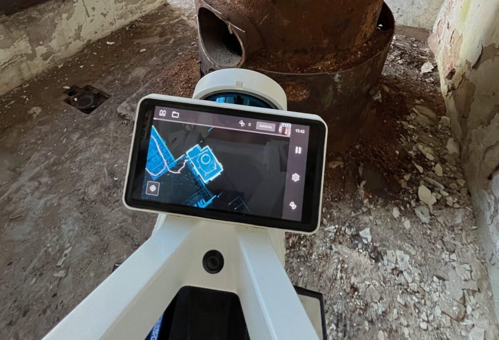
Modern 3D surveying technologies such as laser scanners, drones and photogrammetry make it possible to produce detailed point clouds and digital models of structures or terrain. They offer higher precision and more comprehensive data capture in less time.
Advantages of 3D surveying:
- Efficient data capture through automated processes.
- Reduction of human error.
- Richly detailed 3D models for realistic visualisations and simulations.
- Easy integration into Building Information Modeling (BIM) for better design accuracy.
Disadvantages:
- Higher acquisition costs for hardware and software.
- The need for trained staff to operate the equipment and process the data.
Combining both methods: a joined-up approach
The best solution often lies in combining traditional surveying methods with modern 3D technologies. While classic instruments can be used for point-by-point precision measurements, 3D technologies allow fast, large-area data capture and detailed modelling. This hybrid approach maximises accuracy and efficiency while sensibly complementing proven methods.
Advantages of the combination:
- Using the precision of classic measuring instruments for detail measurements.
- Complementing them with 3D technologies for fast, comprehensive data capture.
- More efficient workflows through an intelligent link between the two methods.
Which method is right for your project?
The choice between traditional and 3D surveying depends on several factors:
- Project size: On smaller projects traditional surveying may be sufficient, whereas on large and complex schemes 3D technology offers clear advantages.
- Precision required: For highly accurate measurements with comprehensive documentation, 3D surveying is the better choice.
- Time and cost efficiency: Despite the higher initial investment, 3D technology can be more economical in the long run thanks to faster data capture and lower error costs.
- Hybrid solution: Combining both methods can maximise the advantages and provide a flexible, tailored surveying solution.
Conclusion: precision as the key to success
While traditional surveying methods continue to have their place, 3D surveying offers considerable advantages through efficiency, accuracy and integration into digital design processes. Combining both approaches is, however, the most promising route to the highest precision and efficiency. Site managers, architects and property developers who adopt this hybrid strategy benefit in the long run from what modern surveying technology can do.
Would you like to know more about the benefits of 3D surveying for your construction project? Get in touch for individual advice!