


Precise cleaning area capture: how 3D laser scanning transforms facility management
Capturing cleaning areas exactly is a considerable challenge for many companies. With large property portfolios, complex building structures or building complexes that have grown over time, dependable area data is often missing. This uncertainty leads to inefficient cleaning concepts, imprecise tendering and ultimately to unnecessary additional costs. Modern 3D laser scanning technology offers a precise and economical solution here.
The challenge: unknown cleaning areas as a cost trap
In practice we regularly encounter situations that show how complex area capture is. Many buildings have been converted, extended or given new uses over decades without the documentation being updated accordingly. The as-built drawings that exist often date from the time of construction and no longer reflect the current situation at all. Manual measurements carried out as a stopgap regularly lead to errors of 5 to 15 per cent in the area calculation.
It becomes particularly problematic with complex building structures. Awkward layouts, differing levels and mezzanines inserted later make precise capture considerably harder. On top of that, different floor coverings and the cleaning requirements associated with them are often documented only incompletely. Carpet in an office area calls for a completely different cleaning strategy than sealed industrial floors or sensitive natural stone surfaces in entrance areas.
These inaccuracies have far-reaching consequences for everyone involved. Cleaning contractors are forced to build in safety margins so as not to make a loss. Facility managers cannot plan optimal cleaning intervals, because the underlying data is missing. Actual costs deviate considerably from the plans, which leads to constant renegotiation and dissatisfaction on all sides.
The solution: digital precision through 3D laser scanning
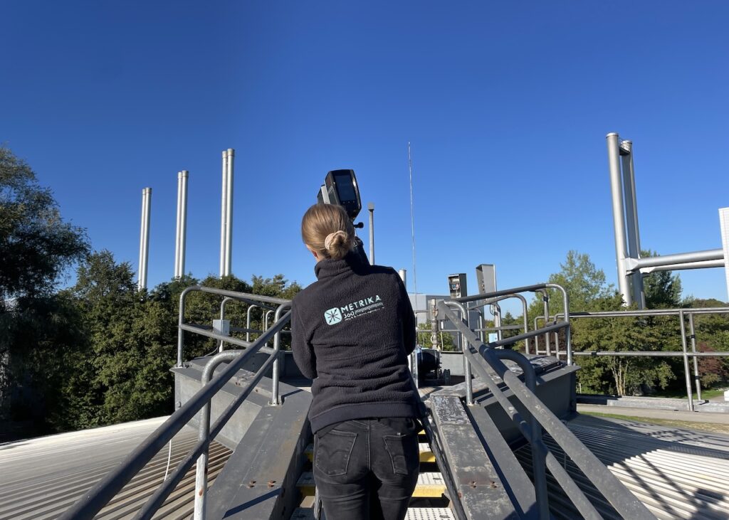
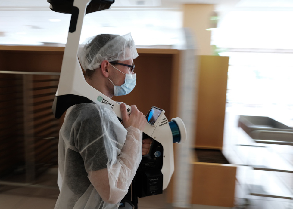
Modern 3D laser scanning technology transforms area capture fundamentally. With mobile mapping systems based on the innovative SLAM algorithm (simultaneous localization and mapping), up to 15,000 square metres of net building area can be captured per day – and that to millimetre accuracy. This technology allows complete capture of all rooms and areas without the omissions usual in manual measurement.
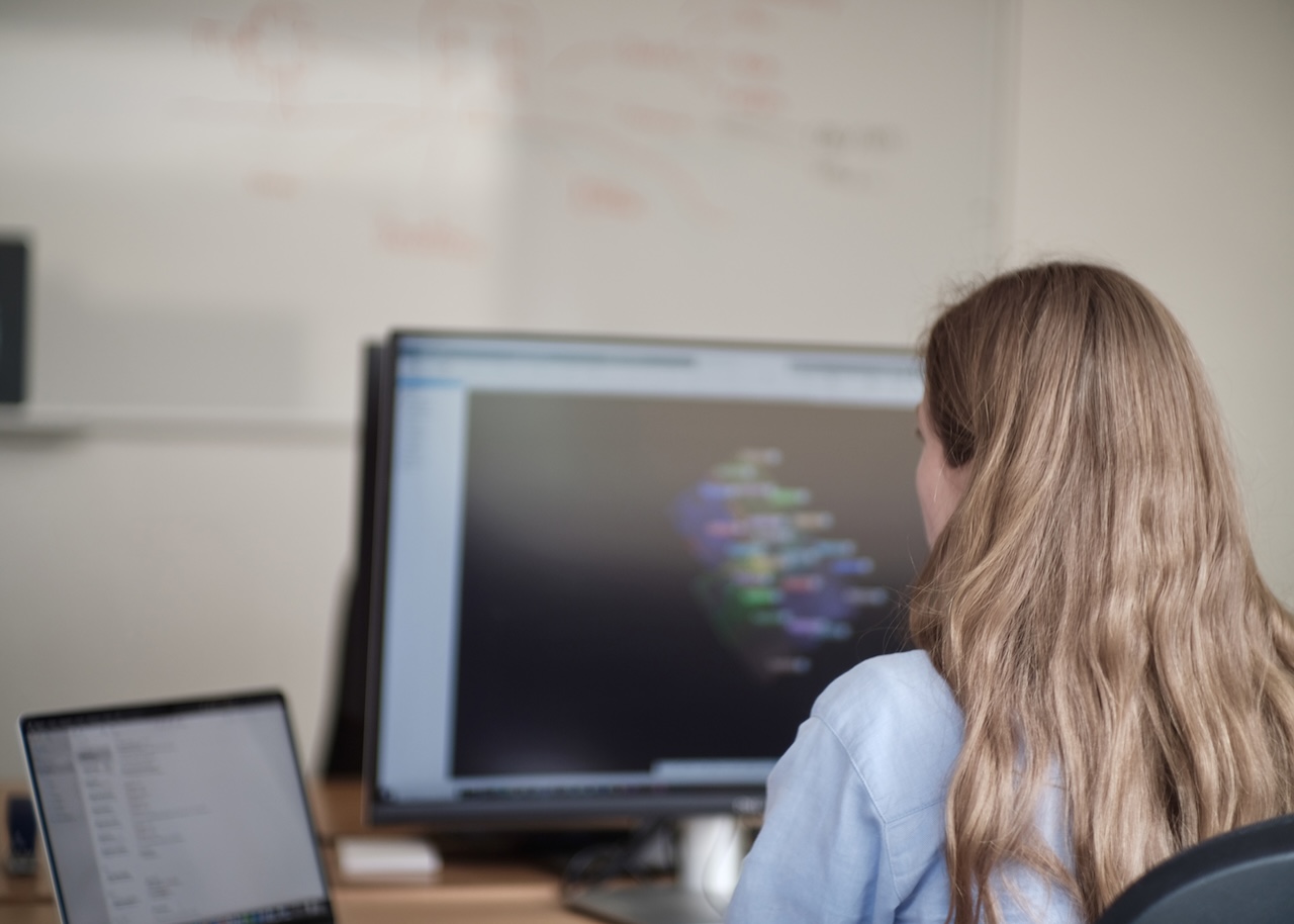
The decisive advantage lies in the precise differentiation between the various types of area and the automatic recognition of niches, projections and areas that are hard to reach. Instead of relying on theoretical plan values, the system documents the actual situation. Every corner, every column and every offset is captured to the millimetre and reproduced in a digital model.
Integrating the captured data into existing computer-aided facility management (CAFM) systems is seamless. Not only the area data as such is transferred: a comprehensive digital picture of the cleaning requirements is created. Room use types and names are included, as is detailed information on floor coverings and surface finishes. Cleaning-relevant attributes such as window areas, the number and type of sanitary installations or particular access conditions are documented systematically.
The process: from the point cloud to optimised cleaning planning
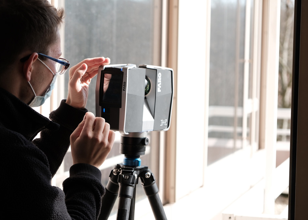
The first step is carried out on site by experienced surveying engineers. With state-of-the-art mobile mapping devices they work systematically through every area of the building. The system captures up to 600,000 measurement points per second while producing high-resolution 360-degree panoramic photos in parallel. During the scan, important attributes are already captured via a proprietary documentation app: room names and use types are recorded, as are the different floor coverings, whether carpet, parquet, tiles or PVC. Particular cleaning requirements, hygiene areas and special uses feed directly into the data basis.
Data processing follows in the second step. From the captured point cloud, precise CAD floor plans are produced that go far beyond simple outlines. Area calculation is automated to the relevant standards such as DIN 277 and can be adapted to the client. The system distinguishes between the gross floor area of all storeys, the actually usable net floor area and the specific cleaning areas, categorised by cleaning intensity.
In the third step the data is prepared so that it can be used directly for cleaning planning. Area clusters emerge by cleaning interval – entrance areas to be cleaned daily are distinguished from office areas cared for weekly and archive rooms treated monthly. Special areas with particular requirements such as laboratories or clean rooms receive their own categories. Circulation areas are classified by how heavily they are used, and sanitary areas receive a detailed record of their fittings.
Practical benefits for everyone involved
For facility managers, a precise data basis opens up entirely new possibilities in building management. Transparent cost control through exact area data allows genuinely precise budget planning for the first time. Cleaning concepts can be adapted optimally to actual use instead of resting on assumptions. Quality assurance becomes demonstrable, because every cleaned area is documented. In tendering, the uniform data basis creates fair comparability between bids.
Cleaning contractors benefit from the newly gained certainty in calculation. Hidden areas or subsequent adjustments are a thing of the past. Staff planning rests on precise time calculations derived from real areas. Double cleaning is avoided, as are forgotten areas, which raises efficiency considerably.
Property owners secure the value of their asset through cleaning that matches actual need. The right care extends the life of surfaces considerably. At the same time, cost transparency arises, which makes traceable service-charge statements possible for tenants. The resource-efficient use of cleaning agents and staff also contributes to sustainability.
A practical example: a university campus of 120,000 square metres
A current project illustrates the scale and the potential of digital area capture. On a university campus with more than 50 buildings and 120,000 square metres of usable area, the laser-scanning-based capture revealed considerable deviations from the existing old drawings. The systematic survey identified 8,500 square metres of cleaning area that had not been documented – the size of an entire office building.
Thanks to the precise data, cleaning intervals could be adapted optimally to actual use. Lightly used areas were cleaned less often, while main circulation routes received more frequent cleaning cycles. The result: a saving of 15 per cent of total cleaning costs while the quality of cleaning rose. Complaints fell by an impressive 70 per cent, because all areas were now captured systematically and integrated into the cleaning schedules. The return on investment of the survey was reached after just eight months.
Virtual walkthroughs and digital workflows
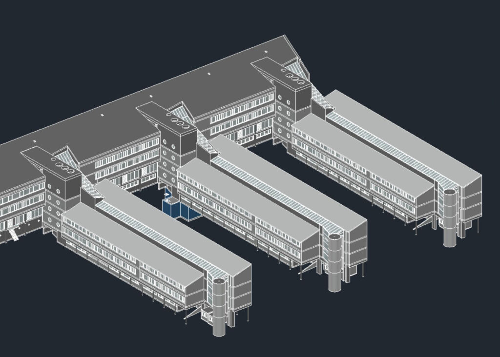
Digital capture opens up innovative possibilities for modern working processes. From the scan data, photorealistic virtual tours can be created that go far beyond simple 360-degree photos. Because these tours rest on precise laser scan data, they allow measurements to the centimetre directly in the browser. Cleaning contractors can thus form a realistic impression of the building before submitting a bid – without time-consuming viewing appointments.
These virtual walkthroughs create a fair starting point for all bidders. Everyone receives the same information, misunderstandings are avoided, and the number of queries falls drastically. The advantage of this technology shows particularly in Europe-wide tenders or in awarding framework contracts for multiple locations.
The digital twins also enable innovative approaches to quality assurance. Mobile capture systems can document the actual state after cleaning and compare it automatically with the target state. Critical areas are recorded photographically, and KPI-based performance measurement becomes objective and traceable.
Economics and future prospects
Investing in professional 3D laser scanning-based area capture may look at first like an additional cost. Practice shows, however, that this investment pays for itself within 6 to 18 months. The savings come from several sources: reduced cleaning costs through need-based planning lead to savings of 5 to 20 per cent. Eliminating non-existent areas from existing contracts avoids payments for phantom areas. Precise determination of requirements for cleaning agents optimises materials management, and automated processes considerably reduce administrative effort.
Economies of scale show particularly with large property portfolios. Uniform data quality across all buildings allows valid comparisons between locations for the first time. Key figures become comparable, best practices can be identified and transferred to other buildings. Central data management reduces redundancy and simplifies updates.
A look ahead shows further potential. Precise digital capture forms the basis for AI-supported cleaning optimisation. Predictive cleaning combines area data with patterns of use and enables forward-looking cleaning planning. Sensor-based frequency measurement, weather-dependent adjustments and event-based special cleaning become possible. For the use of automated cleaning robots, precise 3D models are indispensable. They allow optimal route planning, reliable obstacle detection and area-specific cleaning programmes.
Conclusion: the road to digital building management
Capturing cleaning areas exactly by 3D laser scanning marks a turning point in facility management. It is not a technical gimmick but a fundamental building block for efficient building management in the future. The benefits range from cost transparency through improved quality to the sustainable use of resources.
Companies that invest in precise building data today lay the foundation for more economical building management, greater user satisfaction and more sustainable use of resources. The technology is mature, the processes are established, and the economics are proven. It is time to make use of this potential and take the step into the digital future of facility management.
Digitalising building data is only the first step in this. It creates the basis for further innovation and optimisation that will fundamentally change the way we manage buildings in the years to come. Whoever acts now secures a decisive competitive advantage.
Frequently asked questions about digital cleaning area capture
How long does it take to capture a typical office building?
The speed of capture depends on the complexity of the building. With mobile mapping systems we capture up to 15,000 square metres of net building area per day. An average office building of 10,000 square metres is therefore fully digitised in one to two days. The subsequent data preparation takes a further three to five days, depending on the level of detail required.
Does the survey disturb the building's ongoing operation?
The capture takes place entirely without disturbance during normal operation. Our surveying engineers work discreetly and adapt to operational routines. Sensitive areas can be captured outside core working hours. Mobile mapping technology works silently and needs no elaborate set-up.
In which formats is the area data supplied?
We supply the data in all the usual formats. CAD drawings can be provided as DWG, DXF or IFC. We produce area tables in Excel or as CSV files. For direct integration into CAFM systems we adapt the data structure to your specific requirements. You also receive access to the virtual tours through a web browser.
How accurate are the area calculations?
The raw data from laser scanning is accurate to the millimetre. In the area calculation we achieve an accuracy of more than 99 per cent. The minimal deviations arise mainly from how room boundaries are defined in open layouts. We agree those boundaries with you in advance.
Can outdoor areas and facades be captured as well?
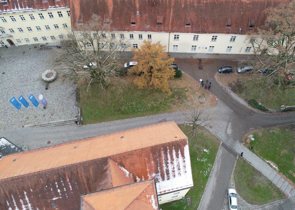
We capture outdoor areas too, of course. By combining terrestrial laser scanning and drone survey we document outdoor facilities, car parks, footpaths and facade areas. This data is particularly valuable for planning winter maintenance or facade cleaning.
How is the data kept up to date?
Once captured, building data forms a solid basis for years. In the case of conversions or changes of use, a partial scan of the areas concerned is usually enough. Thanks to the automatic fitting of new scan data into the existing model, the cost of updating stays minimal. Many of our clients carry out a check measurement every two to three years in order to document changes systematically.