


Building surveying: precision and efficiency through 3D laser scanning
The precise surveying of buildings is a fundamental part of architecture, construction and facility management. It supplies accurate data on the geometry and condition of structures, which is indispensable for design, construction and maintenance. Modern technologies such as 3D laser scanning have transformed building surveying and offer numerous advantages over conventional methods.
Why does building surveying matter?
An accurate building survey is the basis for a range of applications:
- Design and construction: exact survey data is decisive for producing construction drawings and carrying out building projects. It ensures that every building measure rests on a solid body of data.
- Refurbishment and modernisation: when repairing or modernising existing buildings, accurate survey data supplies information about the current condition, which is indispensable for the design.
- Heritage conservation: historic buildings call for deformation-accurate documentation, so that their structure and detail are preserved faithfully.
- Facility management: efficient property management requires current and precise building data, in particular for computer-aided facility management (CAFM) systems.
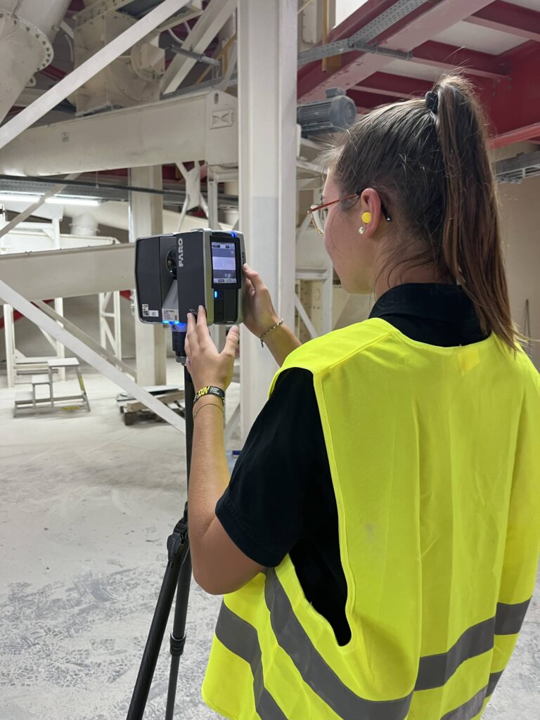
The technology we apply:
3D laser scanning
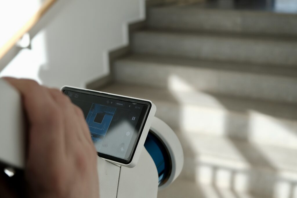
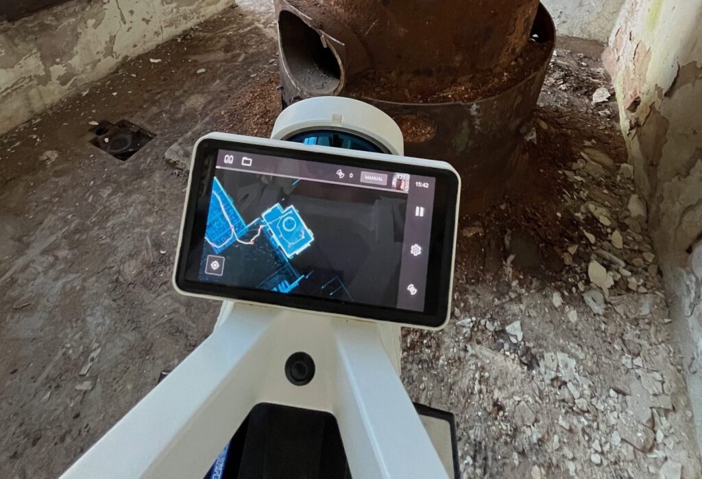
At Metrika360 we rely on advanced 3D laser scanning technology to capture buildings and infrastructure in detail. The method offers numerous advantages:
- High precision: 3D laser scanning allows millions of measured points per second to be captured, producing a detailed representation of the building.
- Efficiency: large areas can be surveyed in a short time, which speeds up the survey process and reduces cost.
- Flexibility: the data obtained can be used for various purposes, from 2D drawings through 3D models to integration into BIM systems.
Examples of our surveying services in use
- Deformation-accurate surveys: on historic buildings in particular it is important to document every deformation exactly. Our technology makes it possible to capture such structures in detail and so to create a precise basis for restoration work.
- Digital as-built plans and models: for the management of property portfolios we produce digital drawings and models that serve as a basis for design and construction projects.
- Drone surveying: in areas that are hard to reach or dangerous we use drones to obtain accurate survey data. The method is particularly suited to tall buildings or contaminated sites.
Conclusion
The precise surveying of buildings is indispensable for a wide range of applications in construction, architecture and facility management. By using modern technologies such as 3D laser scanning, we at Metrika360 can make sure our clients receive accurate and dependable data that supports their projects efficiently and successfully.