


Infrastructure: surveying bridges, roads and networks
Civil engineering structures usually outlast the usefulness of their documents. Before a repair, a structural reassessment or an extension, the current condition has to be captured, and in such a way that the survey can later serve as evidence. For this we combine terrestrial laser scanning with drone flights.
The places nobody can reach
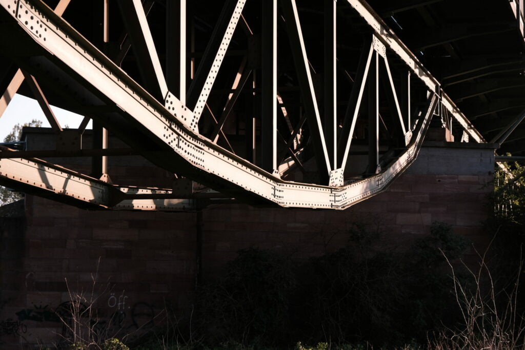
With a structure, the condition that matters is where you cannot see it: the underside, the bearings, the edge beams. That is exactly where conventional surveying stops and estimation begins.
Laser scanning and drones reach these surfaces without scaffolding. The result is a structure model and a record of condition against which the next inspection cycle can be compared.
Where it falls short
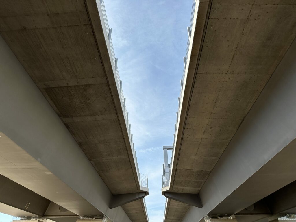
With bridges and retaining structures, the problem is access. The areas that matter are the soffit, abutments and bearings, exactly the places you cannot reach without equipment. Scaffolding or an under-bridge inspection unit costs time and usually requires a closure.
With roads and networks, it is the extent. Conditions over several kilometres cannot sensibly be measured point by point, and a survey that is not in a common spatial reference cannot be merged later.
When the need arises
- Structural inspection and updating the structure record book
- Repair, strengthening or replacement construction
- Structural reassessment of an existing structure when the geometry has to be documented
- Documenting the condition before work starts on an adjacent construction project
- Quantity take-off and terrain survey during design
How we survey
We survey the structure itself terrestrially, with Faro laser scanners, achieving sub-centimetre accuracy. What cannot be reached from the ground we capture by drone flight. Both datasets are registered in the same spatial reference, so that soffit, superstructure and surroundings form one model rather than three.
Georeferencing is not a side issue here. Only the spatial reference makes the survey comparable with cadastral data, with a later repeat measurement and with the data of other parties involved.
For the terrain around the structure we supply a digital terrain model and a digital surface model. Where official elevation data are sufficient, we say so; for billing between two contracting parties they are not.
What you receive
- Registered and georeferenced point cloud of the structure and its surroundings
- Sections, elevations and longitudinal profiles at the locations being designed
- As-built model of the structure at the agreed level of detail
- Orthophoto of the soffit or façade as a measurable image basis for the condition survey
- Digital terrain model and digital surface model for quantities and tie-in levels
The orthophoto of the soffit is the part that changes the inspection: a crack can be located in it and found again at the same spot in the next inspection cycle.
What the survey does and what it does not replace
A structure survey with laser scanning and drone delivers geometry and imagery. It does not replace the hands-on inspection required by the standard, and it is not meant to.
What it does: it records the condition completely and with dimensional accuracy, makes hard-to-reach areas visible without scaffolding and creates a baseline against which a later survey can be measured. What it does not do: it does not detect voids, it does not perform hammer tapping, and it does not assess.
In practice the two complement each other. The survey reduces the scope of what has to be inspected hands-on, because it shows where to look – and it documents the result so that it is comparable in the next inspection cycle.
Preserving evidence before adjacent works
When construction takes place next door, the question of damage to the existing structure is not whether it will arise, but when. The usual answer is an expert report with photos of selected spots – selected by someone who could not know in advance where disputes would arise later.
A survey of the entire condition before work starts reverses this. It records everything, not just what someone thought of, and it is dimensionally accurate: a deformation can later not only be shown but quantified.
The prerequisite is the official spatial reference. Without it, before and after lie in two systems, and the difference says nothing about the structure, only about the calculation.
Further reading
- 3D bridge modelling – the structure model in detail
- Drone surveying – what is captured from the air
- Orthophoto – measurable image for the condition survey
- Terrain model and surface model – levels, quantities, tie-ins
- Georeferencing – why the survey needs a spatial reference
- 3D laser scanning – the terrestrial method
- Point cloud – the raw result of every survey
Frequently asked questions
Do you need a road closure for the survey?
For surveying from the ground and from the air, as a rule no. What may require a closure is surveying on the carriageway itself; we agree this in advance with the authority responsible for the structure.
Can you reach the soffit?
Yes, by drone. In many cases this removes the need for an under-bridge inspection unit for the survey alone. It does not replace the hands-on inspection required by the standard.
Is the survey tied to an official position reference?
Yes. We reference it in the official reference system so that the data fit with the cadastre, the design and later repeat measurements.
Aren't the free elevation data provided by the German federal states sufficient?
For an initial assessment, often yes. For billing between two contracting parties, no: an official dataset is never a basis for billing, and depending on the state its data are several years old.
Can you record the condition before adjacent construction work?
Yes. A survey before work starts is the most robust form of evidence preservation, because it records the entire condition and not just the spots someone thought of in advance.