


Georeferencing: why a survey needs a spatial reference
Georeferencing ties a survey into an official coordinate system. Without it, the building sits in its own arbitrary system – internally correct, but impossible to combine with cadastral data, neighbouring buildings or other surveys.
Why a survey needs a location
Without a spatial reference, a survey is a building in a vacuum. With a spatial reference, it can be combined with the cadastre, neighbouring buildings and a later repeat survey.
The reference systems
In Germany, ETRS89 is the standard for position and DHHN2016 for height. For this we set up a GNSS control network with control points and tie the scans to it. The result is officially valid: it matches the cadastral map, the local development plan and official height data.
When you need the reference
- When the survey is combined with cadastral or planning data
- When several construction phases or survey dates have to fit together
- For permit procedures and evidence submitted to authorities
- For quantity calculations and terrain models that are computed against a previous state
For a purely interior survey of a single building, the official reference is not essential. But as soon as anything outside the building is added, it is needed – and adding it afterwards costs more than doing it from the start.
Position and height are two separate questions
A position reference answers where a point lies on the earth’s surface. A height reference answers how high it lies. The two are defined separately and can be missing separately.
For position, Germany uses ETRS89, in practice mostly in the UTM projection. The country lies in two zones whose boundary runs through the middle of Germany – for projects near this boundary, the zone used belongs in the agreement; otherwise two surveys of the same property end up far apart in the calculation.
For height, DHHN2016 applies, with standard elevation zero (Normalhöhennull, NHN) as the datum. A height figure without the system named is as incomplete as an area figure without the standard.
Internal and external accuracy
This distinction is often overlooked and explains most misunderstandings. A survey can be very accurate internally and still, as a whole, be shifted by a few centimetres in the official system.
- Internal accuracy. How well the dimensions within the survey fit one another. It determines whether a prefabricated component fits.
- External accuracy. How well the survey as a whole sits in the official system. It determines whether it fits together with cadastral data and a terrain model.
Anyone designing only on the inside needs the first. Anyone connecting to a plot boundary, a neighbouring building or a later repeat survey needs both. Both values belong in the survey report, stated separately.
How the reference is established
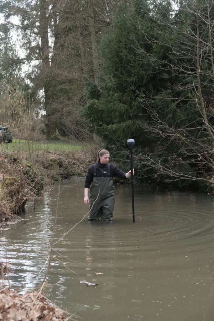
Before or during the survey, control points are established in and around the property, and their coordinates are measured in the official system by GNSS. The scans are then computed onto these points. Where possible, the points remain permanently marked – a later survey can then be tied to the same basis without a new network.
Indoors, where there is no satellite reception, the network is carried from the outside in – for a mobile mapping survey just as for a static scan. That is why georeferencing takes effort and is not a tick box in the software.
What belongs in the tender
Three details are enough to avoid later discussions: the position system including the zone, the height system, and the required external accuracy. If one of them is missing, every supplier delivers something different, and the quotations cannot be compared.
Related terms
Frequently asked questions
What does ETRS89 mean?
The European Terrestrial Reference System 1989 – the official position reference system in Germany. Coordinates in it can be combined with cadastral and planning data.
Does every survey need georeferencing?
No. For a single interior survey, a local system is sufficient. As soon as an external reference, several points in time or official procedures come into play, the official reference is needed.
Can the spatial reference be established afterwards?
Possible, yes; economical, rarely. It requires another site visit and the surveying of control points. Planned in from the start, it costs a fraction of that.