


Public real estate: property documentation for municipalities and federal states
A municipality manages schools, sports halls, administrative buildings and fire stations with documents from four decades and in just as many forms. For refurbishment programmes, funding applications and setting up building management, the stock has to be captured consistently once. That is exactly our task here.
One portfolio, one standard
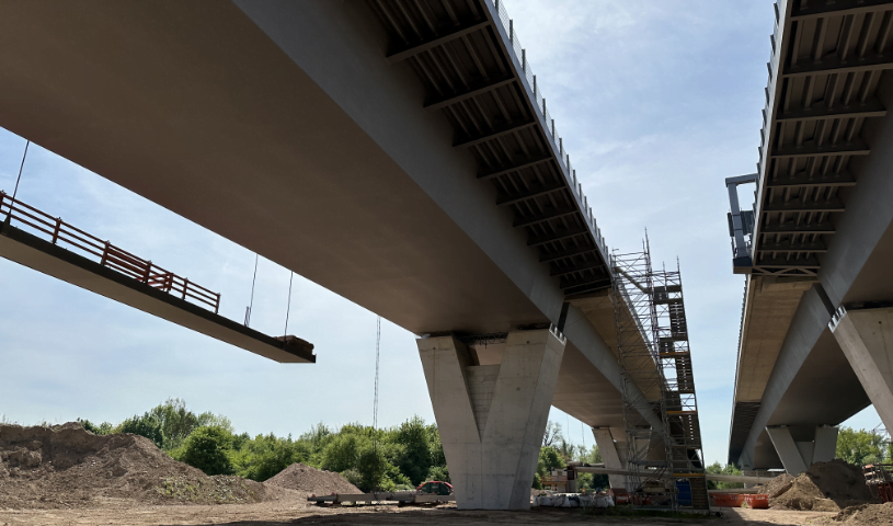
Schools, sports halls, administrative buildings: the task is rarely a single building, but a whole property portfolio. The benefit only arises when all buildings are delivered to the same pattern.
We define the structure once — layers, title block, room numbers, scope of attributes — and apply it throughout. The result feeds directly into the CAFM data foundation.
Where it fails
Not for lack of will, but because of inconsistency. Building A has scanned plans from the eighties, building B a CAD drawing by a practice that no longer exists, building C a list of areas whose origin nobody knows any more. As long as the underlying documents are this different, a portfolio can neither be assessed nor can a system be introduced for it.
Then there is the procurement. A service that is not clearly described leads to quotations that cannot be compared, and later to claims for additional work.
When the need arises
- Refurbishment and school building programmes covering several buildings
- Funding applications for which areas and condition have to be documented
- Introduction of a system for municipal building management
- Accessibility, fire protection and the evidence required for them
- Takeover of properties from another portfolio
How we capture
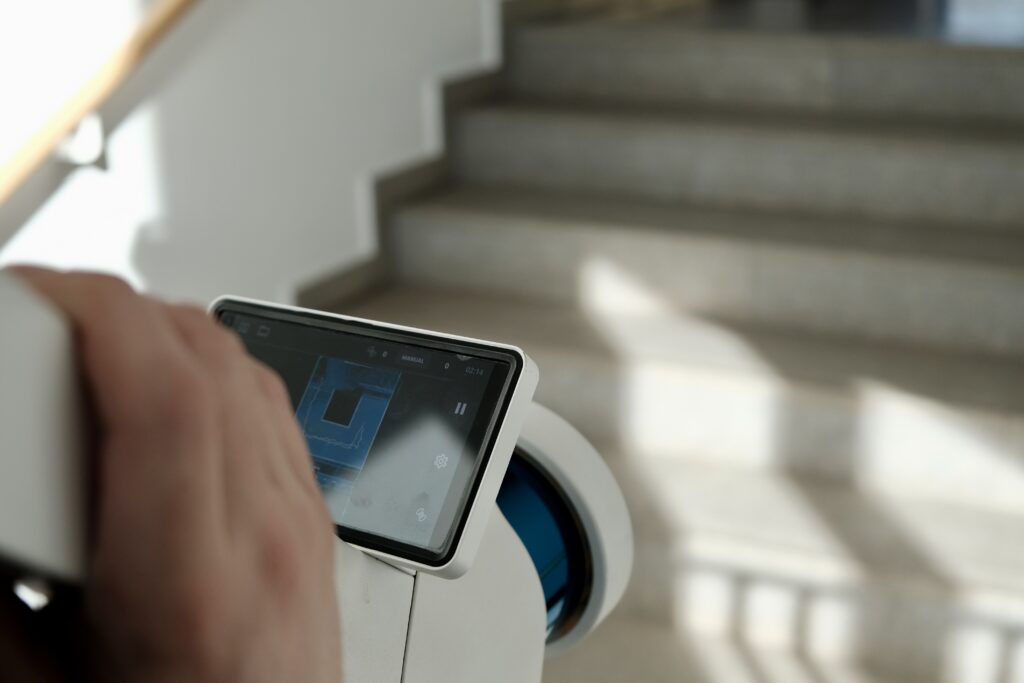
We capture interiors by mobile mapping, with a NavVis VLX. For a school building this means one day on site instead of a week, and the capture can be scheduled during the holidays or in the afternoon after lessons have ended. We capture the building envelope by terrestrial laser scanning, and roof surfaces by drone where required.
For a portfolio of several buildings we define the structure once: layers, title block, room numbering system, scope of attributes. Every building is then delivered to the same pattern. That is the difference between a collection of drawings and property documentation.
What you receive
- Floor plans as DWG and PDF, prepared to your CAD guideline
- Floor areas to DIN 277 with gross floor area (BGF), net room area (NRF) and usable area (NUF) per floor and building
- Room book with type of use, finishes, clear height and fittings
- Virtual tour per building, useful for coordination without a site visit
- A specification of services that can be reused for procuring further buildings
On the last point: we provide the description of the service in a form you can adopt in a tender, even if another practice ends up winning that tender. A clearly described service is worth more to you than a contract is to us.
The five details a tender needs
Capturing as-built data can be specified. Without a specification the quotations cannot be compared, because every provider assumes something different – and the differences are then not a matter of percentages but of multiples.
- The target system and its data model. It determines which fields are filled in with which value ranges.
- The applicable room numbering. In properties that have grown over time, several exist side by side – the caretaker’s, the one in the fire protection documents, the one in the leases. Which one applies is decided by the client.
- The required areas: floor areas to DIN 277, living areas, lettable areas – or several of these.
- The CAD guideline with layer structure, title block and scale.
- The scope of attributes per room, in other words the depth of the room book. It determines how long someone spends in each room.
Capture while a school or administration is in operation
Public buildings are rarely empty, and the time windows are fixed rather than negotiable. That is one of the reasons for the chosen method: when capturing on the move, nobody stands in the corridor of a primary school with a tripod.
- Holidays and weekends are the norm for schools, not the exception.
- Administrative buildings can be captured while work continues; workstations do not have to be cleared.
- People in the images. Where images of people are to be avoided, we switch off image capture and deliver the geometry only.
- Security areas are defined in advance and not removed from the data afterwards.
Further reading
- For public-sector clients – procurement, specification of services, process
- As-built data capture – the term used in tenders
- CAFM data foundation – the basis for building management
- DIN 277 – which areas apply in building construction
- Room book – the attributes per room
- Virtual tours – coordination without a site visit
- Sample documents – examples of floor plan, section and room book
Frequently asked questions
Can you capture several properties consistently?
Yes, that is what the approach is designed for. We define the structure, layers and room numbering system once and apply them to every building.
Can the capture take place during the holidays or at the weekend?
Yes. For schools this is the norm. The capture date is set around your operations, not the other way round.
Do we receive a specification of services for the procurement?
Yes. We describe the service so that it can be put out to tender, including formats, accuracy and checking steps.
Which areas do you deliver?
Floor areas to DIN 277 in the edition you specify (currently 2021-08), with gross floor area (BGF), construction area (KGF), net room area (NRF) and usable area (NUF). We additionally calculate lettable areas according to gif where areas are sublet.
What happens to the data after handover?
It belongs to you, in open formats and without being tied to a system or to us.