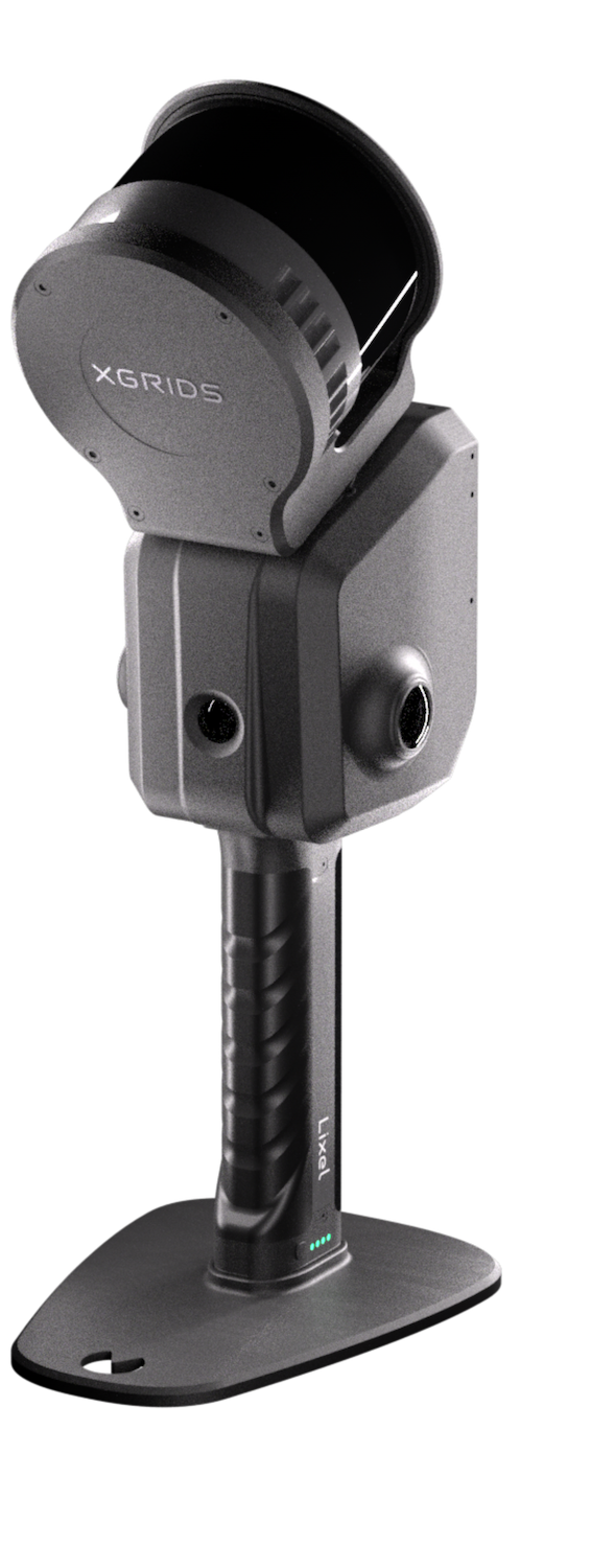


NavVis VLX2 vs. XGRIDS L2 Pro (32/120 m)
NAVVIS VLX2, XGRIDS L2 Pro & K1 in a field test.
As experienced specialists in mobile mapping and 3D laser scanning, we at Metrika360, together with our partner 3ds-scan.de (XGRIDS distribution partner), tested three leading mobile laser scanners under identical conditions. The aim was to compare the performance of the NAVVIS VLX2, XGRIDS L2 Pro and XGRIDS K1 systems in real use – indoors and outdoors, without a control network, but with clear assessment parameters.
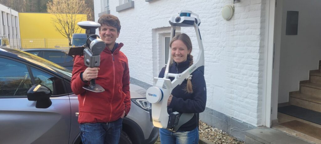
We tested the following sensors:
NAVVIS VLX 2,XGRIDS L2 Pro (32 channel, 120 m range) and the XGRIDS K1. Our focus was on assessing the SLAM algorithm (simultaneous localization and mapping) – the test was therefore carried out without a control network .
A static laser scan recorded with the Leica RTC360 serves as the reference.
A NAVVIS MLX was unfortunately not available to us at the time, but could be added later.
In future we will test all new sensors on our site in Kornelimünster and add them to the project in the web viewer.
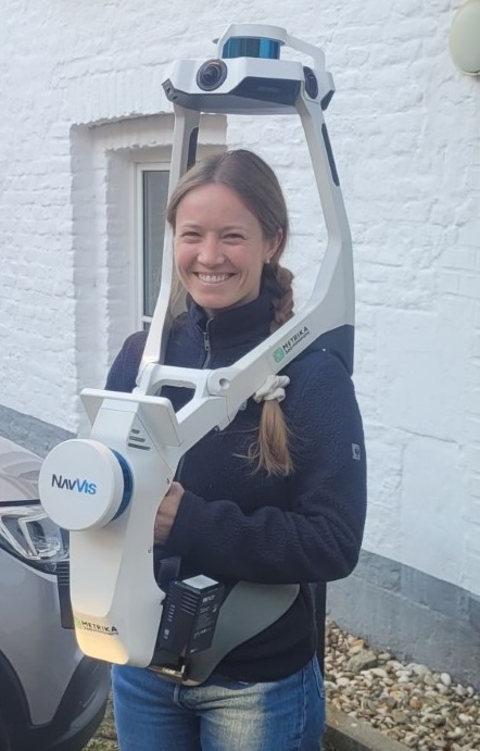
NAVVIS VLX2
- Range: up to 100 m
- Accuracy: 8 mm (under ideal conditions)
- Cameras: 4 × 20 MP each, 360° field of view
- Point density: 2 × 300,000 points/second
- Filtering: min. 5 mm grid (post processing)
- Processing: cloud (pay per use)
- Output: point cloud (post processed)
Strengths: simple operation, high-quality panoramas, integrated workflow
Weaknesses: dependence on the cloud, no RTK support
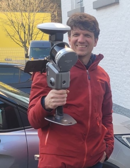
XGRIDS L2 Pro
- Range: up to 300 m (depending on model); tested: the 120 m variant
- Point cloud accuracy: ±1 cm (relative), ±3 cm (absolute, real time)
- Cameras: 2 × 48 MP, ½” sensor, 190° field of view (56 MP panorama)
- Scan rate: 320,000 to 640,000 points per second, depending on the model.
- Point density: 640,000 points/second
- LiDAR + RTK for real-time point clouds
- Filtering: min. 1 mm grid (post processing)
- Processing: on-prem
- Storage: 1 TB (SSD)
- Output: point cloud RAW (.las), point cloud post processed (.las/.e57/.rcp), mesh (.obj), splat (.ply / .lcc), panoramas/single images (.jpg), trajectory (geojson)
Strengths: robust SLAM, RTK, no running cloud costs
Weaknesses: operation via smartphone, more complex workflow
XGRIDS K1
- Range: 40 m<
- Point cloud accuracy: 1.2 cm (relative), ±3 cm (absolute)
- Cameras: 2 × 48 MP (max. 56 MP panorama)
- Point density: 200,000 points/second
- Storage: SD card
- Output: point cloud RAW (.las), point cloud post processed (.las), mesh (.obj), splat (.ply / .lcc), panoramas/single images (.jpg), trajectory (geojson)
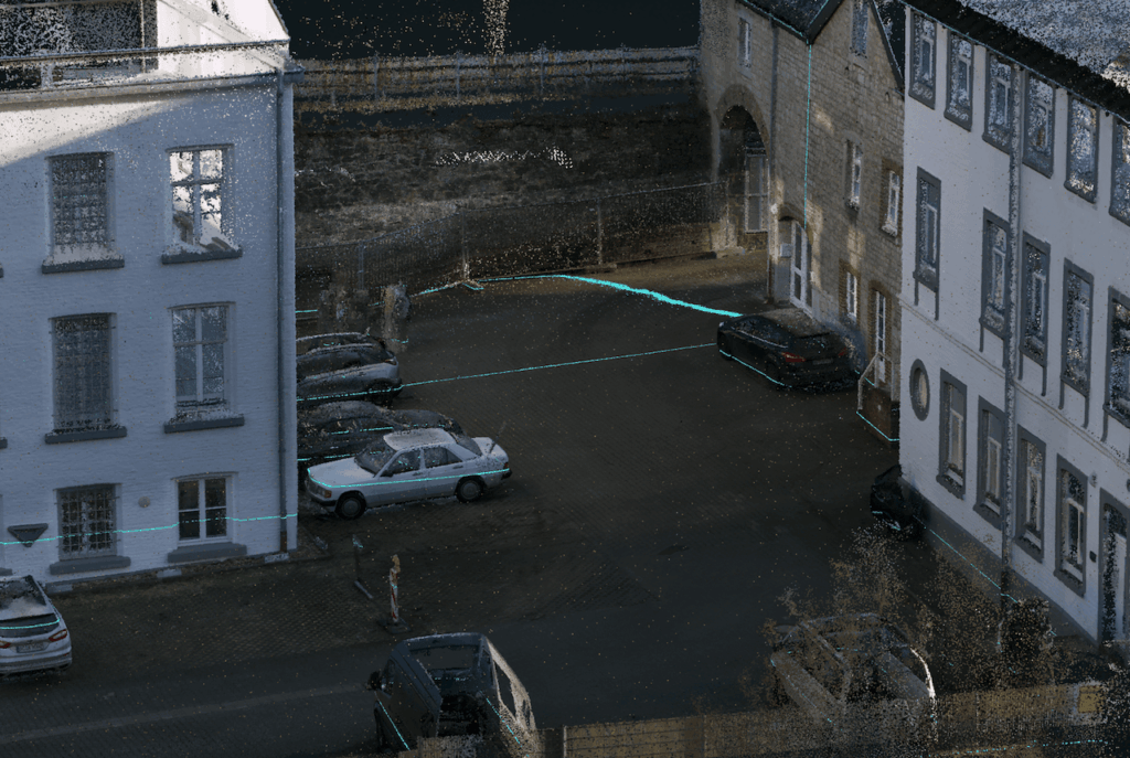
Scan time, panoramas and point clouds compared
| Device | Scan time | Panoramas | Points in total |
|---|---|---|---|
| Leica RTC360 | 2.5 h + registration (65 scans) | 65 | 91 million (reduced from >1 billion) |
| XGRIDS L2 Pro | 20 min | 680 | 185 million |
| XGRIDS K1 | 20 min (2 scans; indoor & outdoor) | 554 | 138 million |
| NAVVIS VLX2 | 25 min | 297 (of which 101 billed in IVION) | 163 million |
All scans side by side
Since data says more than a thousand words, we decided to share the results in the form of a web viewer and to make all available data downloadable.
That way you can form your own impression of the differences and the similarities. We always like to recommend CloudCompare for this.

Tips for use
Under Tools / Navigation → Earth Control activate
Under Scene all scanners can be shown or hidden individually as layers
Prepared sections (e.g. section 01) are marked in colour
NAVVIS
Pro
- Web platform –> blurring of people/number plates in the panoramas
- Simple process –> everything you need in the case, hard disk, off to the cloud, processing –> done
- Easy evaluation in IVION
- Colouring of the point cloud
- Fixed built-in display, simple operation
- Reports
- 2 scan modules with different orientation – better coverage of awkward corners
- Automatic filtering of the point cloud
- RAW images available
Con
- no RTK available
- Control points can only be captured while measuring, not in post processing
- SLAM is sensitive
- Few ways to intervene when the “simple process” does not work
- Max. 5 mm resolution
- Panoramas have to be taken from a standstill
- Installing updates à via LAN cable
- Large case & large device (though better with the MLX)
- Local offline processing not provided as standard (and then only in a Docker environment on Ubuntu)
- More difficult to calculate project costs
- Running costs for processing (pay-per-use)
- No trajectory available
XGRIDS L2 Pro
Pro
- RTK available (survey grade)
- Very robust SLAM / high working speed
- Simple operation
- Gaussian splatting!
- No costs for processing / low running costs
- Small case –> can be carried as hand luggage on a plane
- Merging of segmented point clouds (map fusion, splats too)
- Manipulation of the referencing possible (e.g. custom height system)
- Full access to all important data (except RAW images)
- Local processing, also possible offline
- Panoramas are generated while moving (10000*5000 pixels)
- Software is supplied with the scanner (so far at no extra charge or fee)
- Very fast response from the manufacturer to requests for changes/problems
- Output of structured .e57 point clouds
Con
- No built-in display –> smartphone
- Workflow in Lixel Studio somewhat “opaque” and unusual
- 2 programs required (for point cloud and splats)
- No cloud solution for hosting the point cloud & panoramas (for splats a web platform / local viewer is available)