


One survey, five use cases: how the official BIM catalogue confirms the data chain
The use-case catalogue of BIM Deutschland organises digital project delivery into 21 harmonised main use cases from AwF 000 to AwF 200 [1]. Read from the point of view of a portfolio holder, something stands out: at least five of these cases hang on one and the same data basis. As-built survey (AwF 010), plan derivation (AwF 080), construction progress control (AwF 140), building documentation (AwF 190) and operation (AwF 200) are five evaluations of a single, properly laid-out survey of the building. Commission them separately and you pay for the basis several times over. Think of them as a chain and you pay once.
Five cases, one data basis
AwF 010, as-built survey and modelling: the start of the chain. The building is captured by 3D laser scanning, and from the point cloud the BIM as-built model is created. Everything that follows is an evaluation of the same survey.
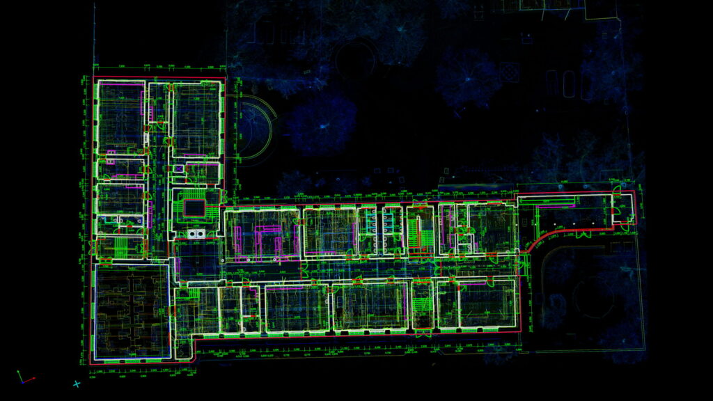
AwF 080, derivation of plan documents: plans as a derivation, not as a fresh drawing. Floor plans, sections and elevations are produced from the model (digital as-built plans), with area calculation to DIN 277. The direction is what matters: plans are derived from the model. A drawing, conversely, never becomes a model.
AwF 140, construction progress control: the state of construction as a measurement rather than an impression. During conversion or refurbishment the active construction section is captured in agreed cycles and compared component by component against the design, right down to the degree of completion in per cent per trade (construction progress documentation). One condition: every survey stands on the same spatial reference as the first, otherwise you are comparing coordinate systems instead of construction states.
AwF 190, project and building documentation: the proof at completion. The as-built comparison demonstrates, with a stated tolerance, that what was built is what was planned. Whoever has documented the construction sequence anyway receives the final model as a continuation rather than an expensive rebuild.
AwF 200, use for operation and maintenance: the data keeps working. From the same data stock come the room book, areas to DIN 277 and import-ready floor plans for the CAFM system, vendor-neutral in IFC, DWG and Excel, so that the operator’s choice of system stays free [2].
Four rules that keep the chain intact
The chain works only if four things are settled before the first survey:
- A constant spatial reference. A control-point network that persists across all phases, officially in ETRS89/UTM and DHHN2016 on request. It is the precondition for surveys from different years being comparable (georeferencing).
- An open format chain. IFC to ISO 16739 for models, E57 for point clouds, plus native delivery in the client’s CAD system [2]. Open formats are the insurance against a change of software devaluing the data.
- Origin marking for every piece of information. Measured, taken from documents, or assumed. Only then do later phases know what they can rely on.
- The point cloud as an archive. It is the asset from which new evaluations arise years later without anyone travelling to site again. Who owns the raw data therefore belongs in the contract.
The profile is already waiting
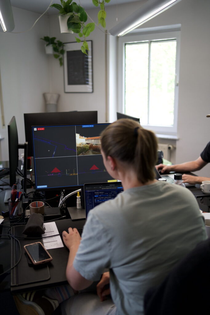
For public clients the catalogue supplies the ordering tool as well: for every use case there are model profiles as editable Word and PDF templates [1]. We feed into these profiles, with levels of development per trade, tolerances and formats from our drawing and modelling standard.
The conclusion in one sentence
The official catalogue confirms what practice has long shown: as-built survey, plan derivation, construction progress, documentation and operation are not five projects but five evaluations of the same survey — and the commercial difference lies in whether you commission them that way.
Frequently asked questions
Do all five use cases have to be commissioned at once?
No. What matters is that the first survey is laid out to carry the chain: constant spatial reference, open formats (IFC, E57), origin marking, archived point cloud. The evaluations themselves can follow one after another, even years apart.
Does the catalogue apply to private clients too?
It was developed for public construction, but it is free to use. As a shared ordering language it is also the best tool available privately against incomparable tenders: five decisions per use case instead of prose in every specification.
What happens if construction progress control is commissioned without the initial survey?
Then the target state and the shared spatial reference are missing. The comparison needs a design or as-built model and a control-point network. Both are produced most economically together with the as-built survey, not retrospectively in mid-construction.
How long does a point cloud stay usable?
As long as the building does not change structurally, indefinitely. Archived in the open E57 format, new plans, models or area analyses can still be derived from it years later without a new site visit. That is precisely why the point cloud belongs in every delivery agreement.
A portfolio that is to be evaluated more than once?
We lay out the survey so that the later use cases can build on it instead of starting over.