


Residential property: as-built data for the housing industry
For a large part of Germany’s housing stock there are no usable plans. What does exist dates from the time of construction and shows neither the alterations of recent decades nor today’s living areas. We survey the building while it is occupied and deliver the documents that administration, letting and refurbishment can work with.
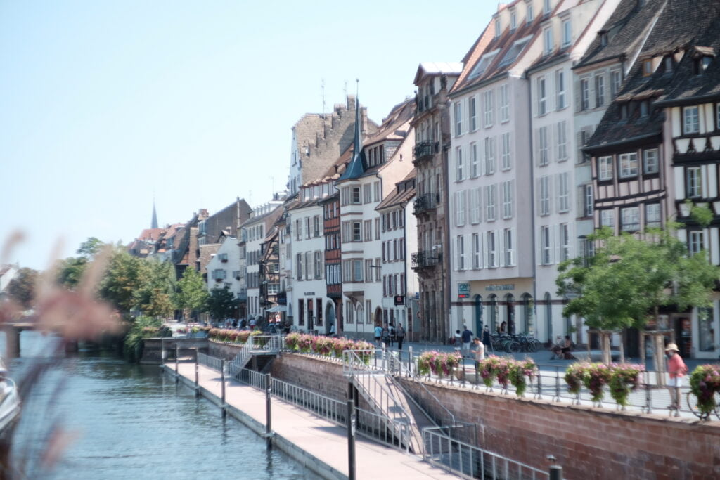
The typical case: a building that has grown over time, without a plan
A late-19th-century row building, converted several times, extended upwards, units merged. Managing it does not require an architectural drawing, but areas that stand up in court and in front of the tenant.
We survey the flats while they remain in use and deliver areas to DIN 277 or to the German Living Space Ordinance (WoFlV) — depending on what they are needed for.
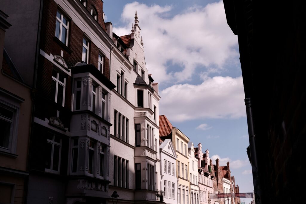
Where it fails
The gap rarely becomes apparent in day-to-day management, but always when a decision needs figures. Before a refurbishment the geometry is missing, before re-letting a reliable living area, before a sale the documents for the buyer’s due diligence. Then each flat is measured individually, usually by changing parties, with results that cannot be compared.
Then there is access. An occupied building cannot be walked through like a building shell. Every additional appointment means another notice, more cancellations and more follow-up work.
When the need arises
- Acquisition or sale of a portfolio, when the documents do not stand up to due diligence
- Energy-efficiency refurbishment, installation of a lift or a change to the floor plan
- Division into condominium units under the WEG (German Condominium Act) and the division plans required for it
- Disputes over the living area in a tenancy
- Building up portfolio documentation with the same structure for all properties
How we survey
We capture the interiors with mobile mapping. The surveyor carries a laser scanner on the body and walks through the flat; scanning takes place on the move, without a tripod and without set-up. A NavVis VLX is used for this. For an average flat this means a few minutes on site instead of half an hour, and for the building one appointment instead of a series of appointments.
We survey the building envelope terrestrially, supplemented where necessary by a drone flight for the roof and facade. The result is dimensionally accurate, to within 2 to 3 cm, and internally consistent, because all floors come from the same survey.
For notifying the tenants, we provide a prepared letter. It answers the questions that experience shows come first: how long, who enters the flat, what is recorded.
What you receive
- Floor plans as DWG and PDF, normally at a scale of 1:100
- Living areas to the German Living Space Ordinance, on request additionally floor areas to DIN 277
- Room book as a structured list per flat and room
- Sections and elevations when a refurbishment is due
- Virtual tour for letting and for internal coordination
The formats are vendor-neutral. They run in your property management software, in a CAFM system and in the CAD environment of your planning office.
How a survey in an occupied building works
Here the organisational part is larger than the measuring part. This procedure has proven itself:
- Notice in good time. We provide a prepared letter that answers the questions that experience shows come first: how long, who enters the flat, what is recorded.
- One appointment per stairwell, not per flat. We work our way through instead of scheduling individual flats. That halves the cancellations.
- A replacement date from the outset. On every walk-through some flats are not accessible. A second round is planned, not improvised.
- Accompanied by the property management. Where someone from the building is present, the number of refused entries drops noticeably.
On recording: besides the geometry, the method also produces panoramic images. Where this is not wanted, we switch off image capture and deliver only the measurement data. For residential portfolios this is the norm.
What makes a portfolio different from a single building
With one property, the survey is the work. With forty, it is the consistency.
Structure, layers, room numbering system and scope of attributes are defined once and applied to every property. Only then can areas be compared between properties, key figures be formed and framework contracts be tendered on reliable figures. Without this definition the result is a collection of plans from which nothing can be calculated.
It has proven worthwhile to take one property all the way through – right into the property management software – and only then to commission the others. Whatever comes to light with the first one would otherwise have had to be corrected forty times. More on this under as-built data capture.
Further reading
- As-built data capture – the full scope of services
- Room book – which details are recorded per room
- DIN 277 or Living Space Ordinance – which area applies when
- Virtual tours – a walkable tour from the same survey
- Digital as-built plans – floor plans, sections, elevations
- Mobile mapping or terrestrial – which method suits when
- Sample documents – examples and the tenant letter
Frequently asked questions
Do the flats have to be empty?
No. Furniture and furnishings do not interfere with the survey. We complete concealed wall areas from the adjacent scans. Only the routes that are walked should be clear.
How long are you in a flat?
With mobile mapping, a few minutes per flat. The time required depends on the number of rooms, not on the area.
Are photographs taken?
Besides the point cloud, the method also produces panoramic images. If you do not want this, we switch off image capture and deliver only the geometry.
Which living area do you deliver?
The standard is the German Living Space Ordinance, because it applies to tenancies. We additionally deliver floor areas to DIN 277 when the figures go into a CAFM system or into cost accounting.
Can you survey an entire portfolio consistently?
Yes, and that is the real benefit. We define structure, layers and scope of attributes once and apply them to all properties so that the data remains comparable.